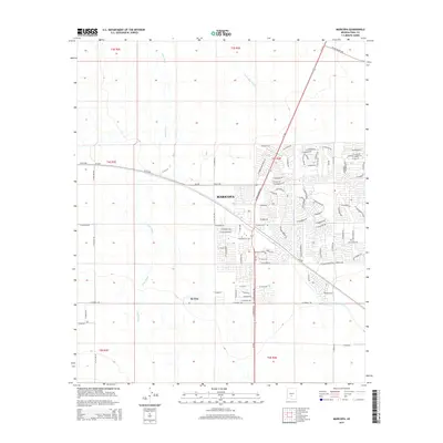
2014 Map of Maricopa
USGS Topo · Published 2014About this map
Maricopa serves as a major hub of development in Pinal County, where modern residential street grids meet the sprawling desert drainage systems of the Gila River Valley. This early 21st-century survey documents the rapid suburban expansion concentrated east of the Az-347 corridor, contrasting sharply with the open land of the nearby Ak Chin community. The landscape is defined by its hydrology, with the broad path of Vekol Wash and Santa Rosa Wash cutting through the terrain, dictating the placement of infrastructure like W Az-238. Local history and growth are etched into the map through a dense network of new thoroughfares, including Edison Rd, W Honeycutt Road, and Desert Cedars Drive, which represent the transition of this former rail stop into a significant residential center.
Find a feature on this map
86 named features on this map. Tap any name to fly to it.
Don’t see what you’re looking for? This feature index may not catch every label — zoom into the map to look around manually.
Map Details
Editions of this 2014 Maricopa Map
This is the sole edition of this map. No revisions or reprints were ever made.
Other maps of this area

1913 · Maricopa
USGS Topo · 1:62,500

1914 · Gila Butte
USGS Topo · 1:62,500

1915 · Maricopa
USGS Topo · 1:62,500

1917 · Gila Butte
USGS Topo · 1:62,500

1922 · Casa Grande
USGS Topo · 1:62,500

1924 · Casa Grande
USGS Topo · 1:62,500

1946 · Antelope Peak
USGS Topo · 1:62,500

1948 · Antelope Peak
USGS Topo · 1:62,500

1952 · Maricopa
USGS Topo · 1:24,000

1952 · Sacaton Butte
USGS Topo · 1:24,000