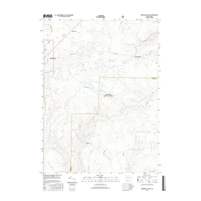
2016 Map of Marienville East
USGS Topo · Published 2016About this map
Allegheny National Forest dominates this section of the Pennsylvania highlands, where the border between Forest and Elk counties meets. The landscape is defined by the branching drainages of the Millstone Creek system, including the W Br Millstone Cr and E Br Millstone Cr. This network of narrow valleys and ridges has historically shaped local settlement, concentrating small communities like Marienville and McCrays along the higher western elevations while leaving the deep woods and wetlands like Buzzard Swamp relatively undeveloped.
Find a feature on this map
38 named features on this map. Tap any name to fly to it.
Don’t see what you’re looking for? This feature index may not catch every label — zoom into the map to look around manually.
Map Details
Editions of this 2016 Marienville East Map
This is the sole edition of this map. No revisions or reprints were ever made.
Other maps of this area

1918 · Loleta
USGS Topo · 1:62,500

1934 · Kane
USGS Topo · 1:48,000

1935 · Sheffield
USGS Topo · 1:48,000

1936 · Marienville
USGS Topo · 1:48,000

1939 · Kane
USGS Topo · 1:62,500

1940 · Hallton
USGS Topo · 1:48,000

1941 · Sheffield
USGS Topo · 1:62,500

1941 · Marienville
USGS Topo · 1:62,500

1943 · Hallton
USGS Topo · 1:62,500

1957 · Warren
USGS Topo · 1:250,000
Featured Places
- Millstone Township, PA
- Lamonaville, Jenks Township
- Jenks Township, PA
- Barnett Township, PA
- Marienville, Jenks Township