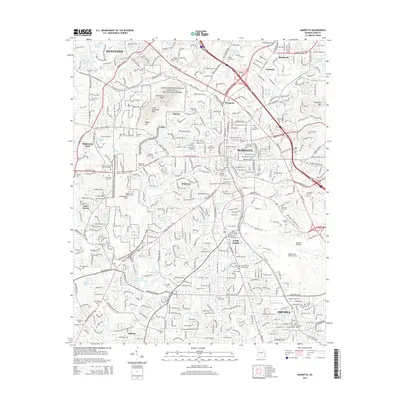
2014 Map of Marietta
USGS Topo · Published 2014About this map
Kennesaw Mountain National Battlefield Park dominates the western half of this map, preserving the significant terrain of Kennesaw Mtn, Little Kennesaw Mtn, and Cheatham Hill. These heights overlook a densely developed corridor where the city of Marietta and the community of Fair Oaks meet. The map reveals an intricate network of local history through its many burial grounds, ranging from the large Marietta City Cem and Confederate Cem to the Paupers Cem and Cheatham Hill Markers Cem.
Find a feature on this map
81 named features on this map. Tap any name to fly to it.
Don’t see what you’re looking for? This feature index may not catch every label — zoom into the map to look around manually.
Map Details
Editions of this 2014 Marietta Map
This is the sole edition of this map. No revisions or reprints were ever made.
Other maps of this area

1888 · Atlanta
USGS Topo · 1:125,000

1890 · Suwanee
USGS Topo · 1:125,000

1890 · Cartersville
USGS Topo · 1:125,000

1890 · Atlanta
USGS Topo · 1:125,000

1891 · Marietta
USGS Topo · 1:125,000

1891 · Cartersville
USGS Topo · 1:125,000

1892 · Atlanta
USGS Topo · 1:125,000

1894 · Suwanee
USGS Topo · 1:125,000

1895 · Atlanta
USGS Topo · 1:125,000

1895 · Marietta
USGS Topo · 1:125,000