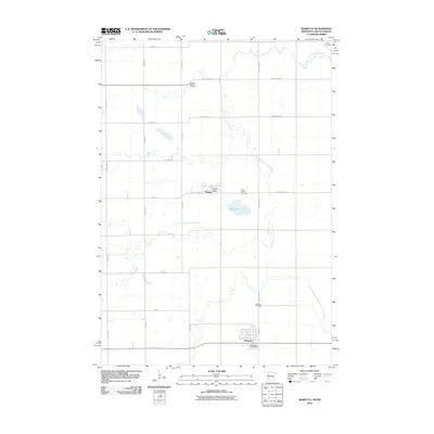
2010 Map of Marietta
USGS Topo · Published 2010About this map
Marietta and Nassau anchor this rural landscape in Lac qui Parle County at the edge of the Minnesota-South Dakota border. The South Fork Yellow Bank River meanders across the territory, defining the drainage patterns alongside Mud Creek and the small basin of Pegg Lake. This digital-age survey captures the precise modern road grid, including County Hwy-24 and 485th Ave, which connect the scattered homesteads and civic hubs like the Marietta Post Office.
Find a feature on this map
26 named features on this map. Tap any name to fly to it.
Don’t see what you’re looking for? This feature index may not catch every label — zoom into the map to look around manually.
Map Details
Editions of this 2010 Marietta Map
This is the sole edition of this map. No revisions or reprints were ever made.
Other maps of this area

1953 · Bellingham
USGS Topo · 1:62,500

1953 · Milbank
USGS Topo · 1:250,000

1953 · Watertown
USGS Topo · 1:250,000

1958 · Milbank
USGS Topo · 1:250,000

1958 · Watertown
USGS Topo · 1:250,000

1967 · Gary NW
USGS Topo · 1:24,000
1967 · Mount Wickham
USGS Topo · 1:24,000

1971 · Marietta
USGS Topo · 1:24,000
1971 · Haydenville
USGS Topo · 1:24,000
1971 · Bellingham
USGS Topo · 1:24,000