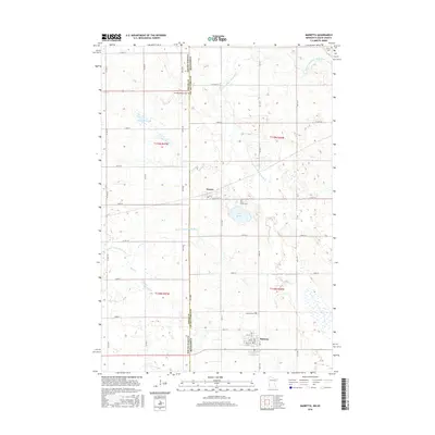
2016 Map of Marietta
USGS Topo · Published 2016About this map
The S Fork Yellow Bank River winds across this borderland between South Dakota and Minnesota, defining a landscape of agricultural sections and scattered wetlands. In the southeastern corner, the community of Marietta is organized around a grid of streets including 1st St and 4th Ave, serving as a local hub for the surrounding township. Further north, the smaller settlement of Nassau sits near the state line, surrounded by numerous small basins like Pegg Lake and Kaufman Slough. Family and local histories are preserved in several rural burial grounds that dot the prairie, such as the Swedish Mission Cem, Saint James Cem, and Augusta Cem. This 2016 survey illustrates the persistent rural character of Grant and Lac qui Parle counties, where the land remains divided by a dense network of county roads and section lines.
Find a feature on this map
48 named features on this map. Tap any name to fly to it.
Don’t see what you’re looking for? This feature index may not catch every label — zoom into the map to look around manually.
Map Details
Editions of this 2016 Marietta Map
This is the sole edition of this map. No revisions or reprints were ever made.
Other maps of this area

1953 · Bellingham
USGS Topo · 1:62,500

1953 · Milbank
USGS Topo · 1:250,000

1953 · Watertown
USGS Topo · 1:250,000

1958 · Milbank
USGS Topo · 1:250,000

1958 · Watertown
USGS Topo · 1:250,000

1967 · Gary NW
USGS Topo · 1:24,000
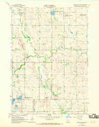
1967 · Mount Wickham
USGS Topo · 1:24,000

1971 · Marietta
USGS Topo · 1:24,000
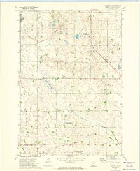
1971 · Haydenville
USGS Topo · 1:24,000
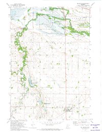
1971 · Bellingham
USGS Topo · 1:24,000