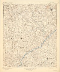
1901 Map of Marietta
USGS Topo · Published 1932About this map
Marietta and the surrounding hill country of Northwest Georgia appear here in the decades following the Reconstruction era, a landscape defined by its transition from an agrarian river economy to a burgeoning railroad hub. The Chattahoochee River remains the central geographic artery, marked by numerous small-scale crossings such as Smith Ferry, Morris Ferry, and Campbellton Ferry that linked rural communities before the wide adoption of bridges.
Find a feature on this map
105 named features on this map. Tap any name to fly to it.
Don’t see what you’re looking for? This feature index may not catch every label — zoom into the map to look around manually.
Map Details
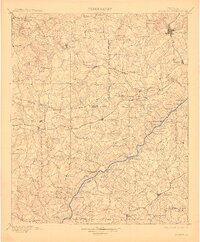
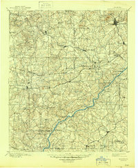
Editions of this 1901 Marietta Map
4 editions found

Other maps of this area

1886 · Rome
USGS Topo · 1:125,000

1888 · Atlanta
USGS Topo · 1:125,000

1889 · Tallapoosa
USGS Topo · 1:125,000

1890 · Suwanee
USGS Topo · 1:125,000

1890 · Cartersville
USGS Topo · 1:125,000

1890 · Atlanta
USGS Topo · 1:125,000

1891 · Marietta
USGS Topo · 1:125,000

1891 · Cartersville
USGS Topo · 1:125,000

1892 · Tallapoosa
USGS Topo · 1:125,000

1892 · Atlanta
USGS Topo · 1:125,000