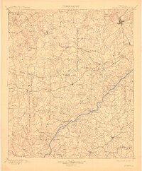
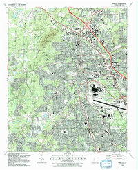
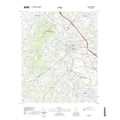
1901 Map of Marietta
USGS Topo · Published 1911About this map
The Chattahoochee River carves a deep diagonal path through this landscape northwest of Atlanta, serving as a primary corridor for transportation and commerce at the end of the 19th century. A series of critical crossings like Turner Ferry, Aderhold Ferry, and Neal Ferry highlight a time before modern bridges consolidated travel, while the Western and Atlantic R. R. and Seaboard Air Line define the emerging industrial hubs at Marietta and Dallas.
Find a feature on this map
123 named features on this map. Tap any name to fly to it.
Don’t see what you’re looking for? This feature index may not catch every label — zoom into the map to look around manually.
Map Details
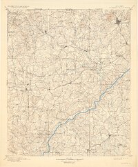
Editions of this 1901 Marietta Map
4 editions found

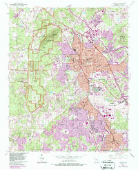
Historical Maps of Atlanta Through Time
11 maps found

1891 Marietta
Cobb County, GA

1895 Marietta
Cobb County, GA

1897 Marietta
Cobb County, GA
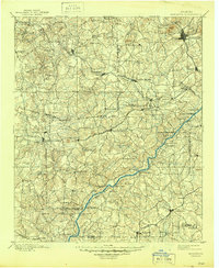
1901 Marietta
Cobb County, GA
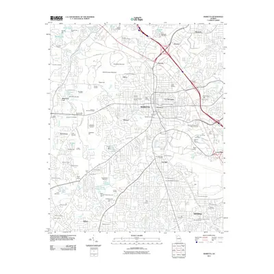
1954 Marietta
Cobb County, GA
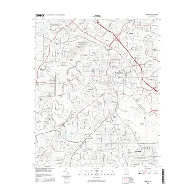
1992 Marietta
Cobb County, GA
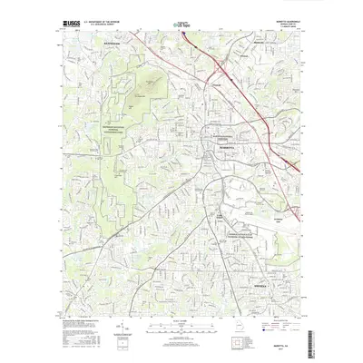
2011 Marietta
Cobb County, GA
2014 Marietta
Cobb County, GA
2017 Marietta
Cobb County, GA
2020 Marietta
Cobb County, GA
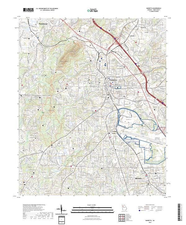
2024 Marietta
Cobb County, GA