
1901 Map of Marietta
USGS Topo · Published 1901About this map
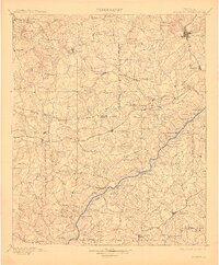
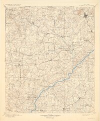
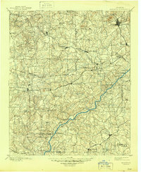
Marietta and the surrounding Georgia uplands appear here at the turn of the century, defined by a dense network of early rail lines and river crossings. Major transportation hubs like Douglasville, Dallas, and Powder Springs are connected by the Southern R.R. and the Georgia Pacific R.R., illustrating the region's post-Civil War industrial expansion. Along the Chattahoochee River, the map documents numerous historic crossings, including Pumpkintown Ferry and Aderhold Ferry, which served local communities before the era of widespread bridging. Landmarks such as Kenesaw Mt. and Lost Mountain anchor the topography, while smaller settlements like Old Villarica and Nebo reflect the rural character of the outlying counties. Notable local infrastructure includes Daniells Mills and the Mount Zion Church, providing specific points of interest for genealogists tracing family roots in the early twentieth-century Cobb Co. and Douglas Co. area.
Find a feature on this map
119 named features on this map. Tap any name to fly to it.
Don’t see what you’re looking for? This feature index may not catch every label — zoom into the map to look around manually.
Map Details
Editions of this 1901 Marietta Map
4 editions found
Other maps of this area

1886 · Rome
USGS Topo · 1:125,000

1888 · Atlanta
USGS Topo · 1:125,000

1889 · Tallapoosa
USGS Topo · 1:125,000

1890 · Suwanee
USGS Topo · 1:125,000

1890 · Cartersville
USGS Topo · 1:125,000

1890 · Atlanta
USGS Topo · 1:125,000

1891 · Marietta
USGS Topo · 1:125,000

1891 · Cartersville
USGS Topo · 1:125,000

1892 · Tallapoosa
USGS Topo · 1:125,000

1892 · Atlanta
USGS Topo · 1:125,000