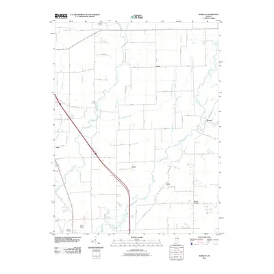
2010 Map of Marietta
USGS Topo · Published 2010About this map
The Big Blue River meanders across this rural Indiana landscape, defining a region where intricate water management through ditches like Amity Ditch and Shipp Ditch supports a grid of agricultural development. Small unincorporated communities including Marietta, Bengal, and Amity serve as local hubs for the surrounding farmsteads. The settlement pattern here is deeply tied to family history, evidenced by a high density of small burial grounds such as Needham Cemetery, Smiley Cemetery, and Brockman Cemetery that punctuate the intersections of the county road system. In the southwest corner, the Plastics Park Airport stands out as a modern landmark amidst the traditional rural landscape. The map illustrates a mature drainage network where Sugar Creek and the Big Blue River converge, reflecting the engineering required to maintain productive farmland in this part of Shelby County.
Find a feature on this map
65 named features on this map. Tap any name to fly to it.
Don’t see what you’re looking for? This feature index may not catch every label — zoom into the map to look around manually.
Map Details
Editions of this 2010 Marietta Map
This is the sole edition of this map. No revisions or reprints were ever made.
Other maps of this area

1942 · Franklin
USGS Topo · 1:125,000

1942 · Columbus
USGS Topo · 1:125,000

1947 · Franklin
USGS Topo · 1:62,500

1947 · Hope
USGS Topo · 1:24,000

1948 · Franklin
USGS Topo · 1:24,000

1948 · Edinburg
USGS Topo · 1:24,000

1948 · Hope
USGS Topo · 1:24,000

1948 · Nineveh
USGS Topo · 1:24,000

1948 · Lewis Creek
USGS Topo · 1:24,000

1948 · Marietta
USGS Topo · 1:24,000