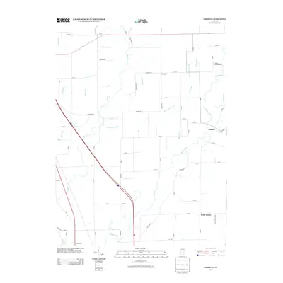
2013 Map of Marietta
USGS Topo · Published 2013About this map
The Big Blue River meanders through this portion of Shelby County, defining a landscape shaped by a sophisticated network of agricultural drainage. Small crossroads communities like Marietta and Bengal anchor the rural territory, while Mount Auburn marks the southern reaches. The terrain is crisscrossed by numerous named waterworks such as Major Ditch, McCue Medsker Ditch, and Shipp Ditch, reflecting the intensive land management required for the region's farming economy. In the northern section, the Skeeter Landing Airport provides a modern navigational point near the waterways of Shaw Ditch and Fisher Ditch. A legacy of earlier transportation is preserved in the naming of Railroad Rd near the southwestern corner, tracing the path where rail infrastructure once intersected the winding course of Sugar Cr.
Find a feature on this map
72 named features on this map. Tap any name to fly to it.
Don’t see what you’re looking for? This feature index may not catch every label — zoom into the map to look around manually.
Map Details
Editions of this 2013 Marietta Map
This is the sole edition of this map. No revisions or reprints were ever made.
Other maps of this area

1942 · Franklin
USGS Topo · 1:125,000

1942 · Columbus
USGS Topo · 1:125,000

1947 · Franklin
USGS Topo · 1:62,500

1947 · Hope
USGS Topo · 1:24,000

1948 · Franklin
USGS Topo · 1:24,000

1948 · Edinburg
USGS Topo · 1:24,000

1948 · Hope
USGS Topo · 1:24,000

1948 · Nineveh
USGS Topo · 1:24,000

1948 · Lewis Creek
USGS Topo · 1:24,000

1948 · Marietta
USGS Topo · 1:24,000