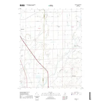
2019 Map of Marietta
USGS Topo · Published 2019About this map
The Big Blue River and Sugar Creek carve through this agricultural landscape along the border of Johnson and Shelby counties. Small settlements and crossroads communities define the social geography of the area, with Marietta serving as a primary focal point. To the south, Mount Auburn sits amidst a network of rural routes, while the small hamlet of Bengal is situated to the north. The land is heavily managed for drainage, as evidenced by a complex system of waterways including Fisher Ditch, Shaw Ditch, and McCue Medsker Ditch.
Find a feature on this map
58 named features on this map. Tap any name to fly to it.
Don’t see what you’re looking for? This feature index may not catch every label — zoom into the map to look around manually.
Map Details
Editions of this 2019 Marietta Map
This is the sole edition of this map. No revisions or reprints were ever made.
Other maps of this area

1942 · Franklin
USGS Topo · 1:125,000

1942 · Columbus
USGS Topo · 1:125,000

1947 · Franklin
USGS Topo · 1:62,500

1947 · Hope
USGS Topo · 1:24,000

1948 · Franklin
USGS Topo · 1:24,000

1948 · Edinburg
USGS Topo · 1:24,000

1948 · Hope
USGS Topo · 1:24,000

1948 · Nineveh
USGS Topo · 1:24,000

1948 · Lewis Creek
USGS Topo · 1:24,000

1948 · Marietta
USGS Topo · 1:24,000