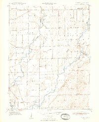
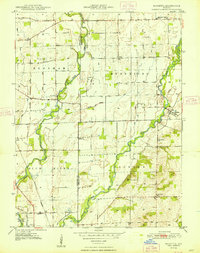
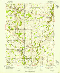
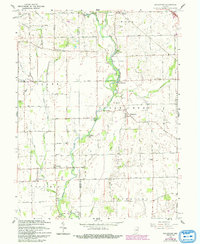
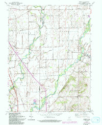
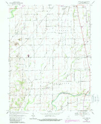
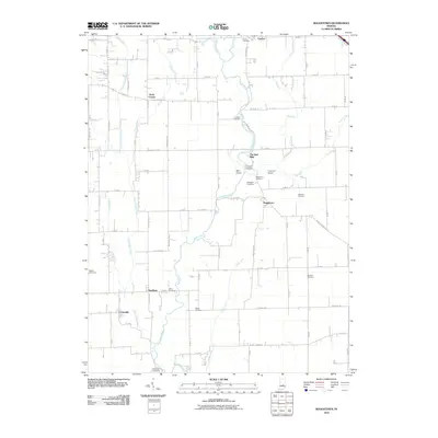
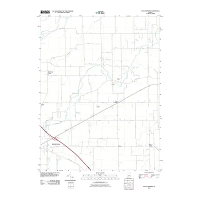
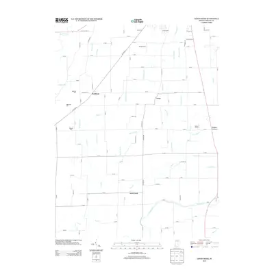
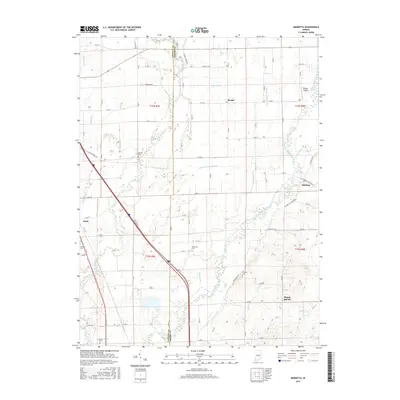
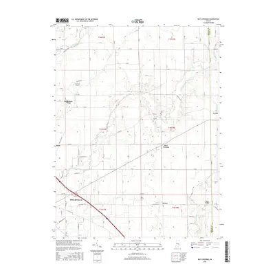
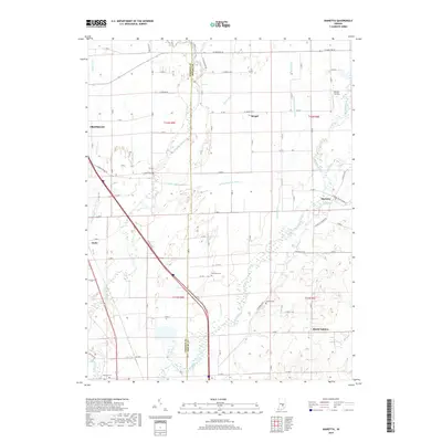
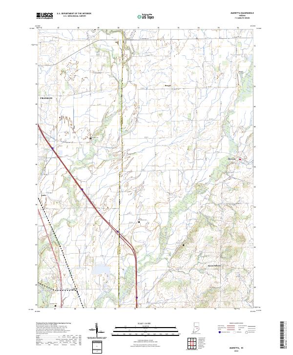
1948 Map of Marietta
USGS Topo · Published 1948About this map
Sugar Creek and the Blue River converge in this rural landscape along the Johnson and Shelby County line during the late 1940s. The region is defined by a dense network of agricultural drainage, featuring named waterways such as Amity Ditch, Shipp Ditch, and Fisher Ditch that crisscross the townships of Needham, Hendricks, and Jackson. Small crossroads communities and local landmarks serve as focal points for the farming population, including the settlements of Marietta, Bengal, and Mt Auburn.
Find a feature on this map
29 named features on this map. Tap any name to fly to it.
Don’t see what you’re looking for? This feature index may not catch every label — zoom into the map to look around manually.
Map Details
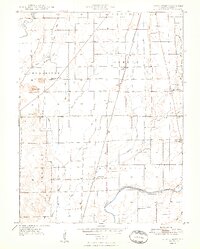
Editions of this 1948 Marietta Map
2 editions found
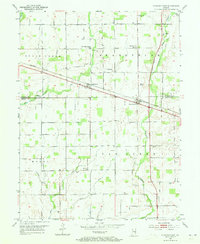
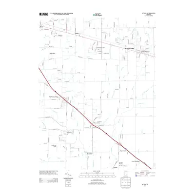
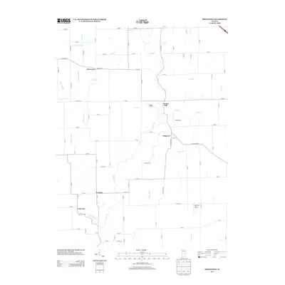
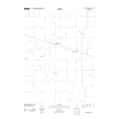
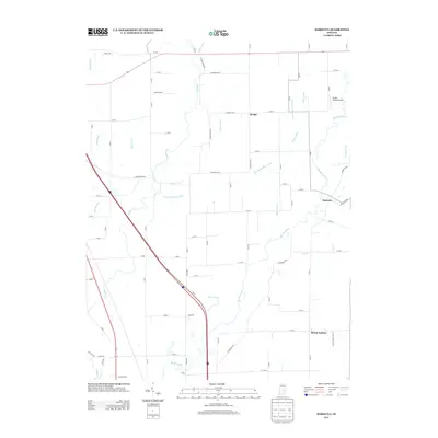
Historical Maps of Bengal Through Time
41 maps found
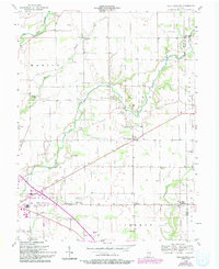
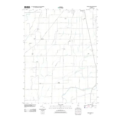
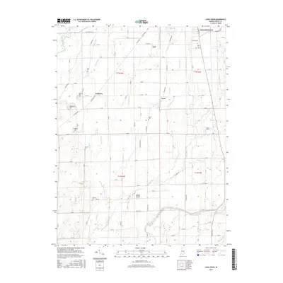
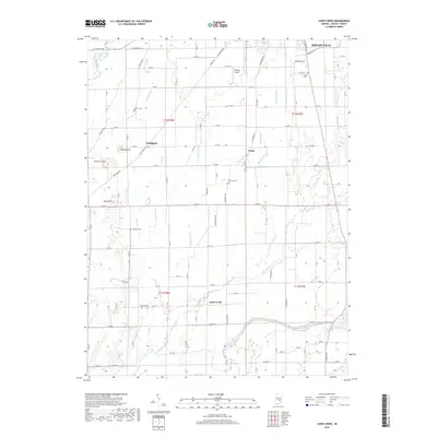
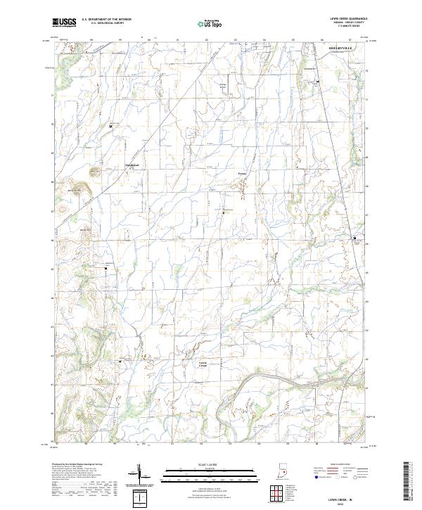
1948 Lewis Creek
Shelby County, IN
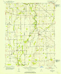
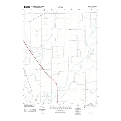
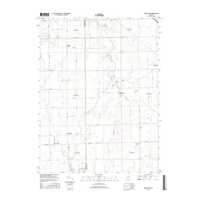
1948 Marietta
Shelby County, IN

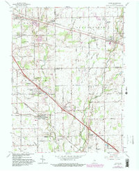
1950 Edinburg
Shelby County, IN
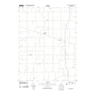
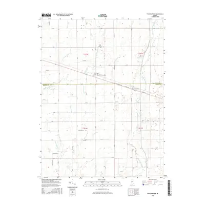
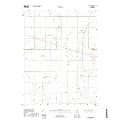
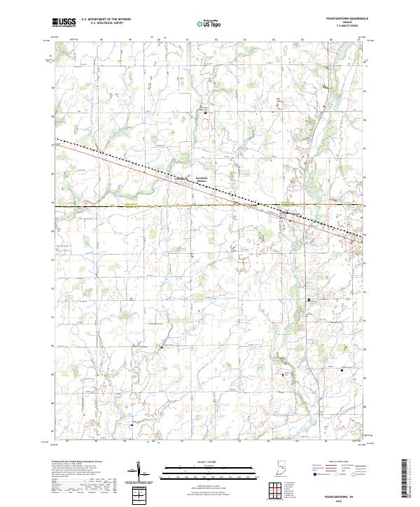
1952 Fountaintown
Shelby County, IN
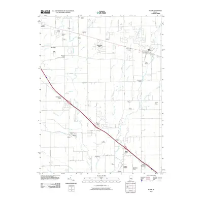
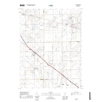
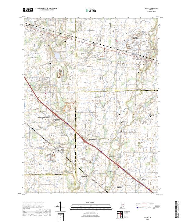
1953 Acton
Shelby County, IN
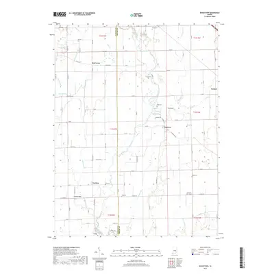
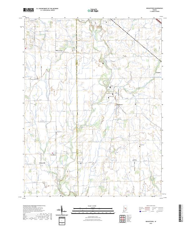
1953 Boggstown
Shelby County, IN
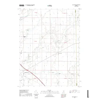
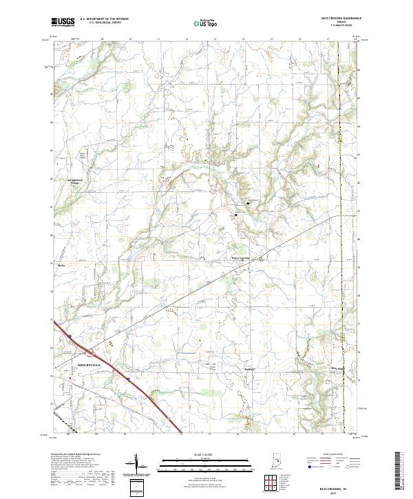
1956 Rays Crossing
Shelby County, IN
1962 Acton
Shelby County, IN
1962 Boggstown
Shelby County, IN
1962 Marietta
Shelby County, IN
1968 Lewis Creek
Shelby County, IN
2010 Acton
Shelby County, IN
2010 Boggstown
Shelby County, IN
2010 Fountaintown
Shelby County, IN
2010 Lewis Creek
Shelby County, IN
2010 Marietta
Shelby County, IN
2010 Rays Crossing
Shelby County, IN
2013 Acton
Shelby County, IN
2013 Boggstown
Shelby County, IN
2013 Fountaintown
Shelby County, IN
2013 Lewis Creek
Shelby County, IN
2013 Marietta
Shelby County, IN
2013 Rays Crossing
Shelby County, IN
2016 Acton
Shelby County, IN
2016 Boggstown
Shelby County, IN
2016 Fountaintown
Shelby County, IN
2016 Lewis Creek
Shelby County, IN
2016 Marietta
Shelby County, IN
2016 Rays Crossing
Shelby County, IN
2019 Acton
Shelby County, IN
2019 Boggstown
Shelby County, IN
2019 Fountaintown
Shelby County, IN
2019 Lewis Creek
Shelby County, IN
2019 Marietta
Shelby County, IN
2019 Rays Crossing
Shelby County, IN
2022 Acton
Shelby County, IN
2022 Boggstown
Shelby County, IN
2022 Fountaintown
Shelby County, IN
2022 Lewis Creek
Shelby County, IN
2022 Marietta
Shelby County, IN
2022 Rays Crossing
Shelby County, IN