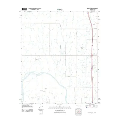
2013 Map of Marietta West
USGS Topo · Published 2013About this map
Sivells Bend sits within a prominent meander of the Red River, marking the boundary between Oklahoma and Texas during the early 21st century. The landscape is defined by the convergence of several waterways including Walnut Bayou, Rock Cr, and Shiggin Cr, which carve through the terrain toward the river. Transportation and local infrastructure are represented by the W.G. Anderson Memorial Airport and a grid of rural roads, some bearing names that reflect local industry or history such as Peanut Rd and Indian Meridian Rd. For genealogists and local historians, the inclusion of Günter Cem and named family roads like Ralph Bloomer Rd and Lou Kings Rd provides specific points of interest for tracing family roots in Love County.
Find a feature on this map
41 named features on this map. Tap any name to fly to it.
Don’t see what you’re looking for? This feature index may not catch every label — zoom into the map to look around manually.
Map Details
Editions of this 2013 Marietta West Map
This is the sole edition of this map. No revisions or reprints were ever made.
Other maps of this area

1901 · Ardmore
USGS Topo · 1:125,000

1902 · Gainesville
USGS Topo · 1:125,000

1918 · Ardmore
USGS Topo · 1:125,000

1943 · Gainesville
USGS Topo · 1:125,000

1954 · Sherman
USGS Topo · 1:250,000

1957 · Ardmore
USGS Topo · 1:250,000

1958 · Sherman
USGS Topo · 1:250,000

1963 · Ardmore
USGS Topo · 1:250,000

1964 · Lake Murray
USGS Topo · 1:24,000

1964 · Overbrook
USGS Topo · 1:24,000