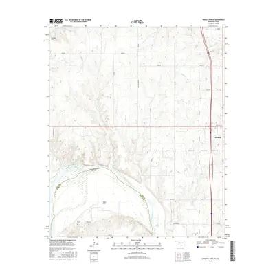
2016 Map of Marietta West
USGS Topo · Published 2016About this map
The Red River defines the winding boundary between Oklahoma and Texas in this survey of the borderlands near Marietta. The landscape is shaped by the river's hydrology, featuring the Old Slough, Walnut Bayou, and numerous small tributaries like Shiggin Cr and Rock Cr. To the northwest, the Eastman Hills rise above the drainage basins, while the community of Sivells Bend sits within a prominent river loop on the Texas side. The map documents a rural network of family and agricultural roads, including Peanut Rd and Ralph Bloomer Rd, which connect outlying homesteads to the regional center. Local history is anchored by sites such as the Gunter Cem south of the river, providing a record of early settlement patterns in this cross-border corridor.
Find a feature on this map
48 named features on this map. Tap any name to fly to it.
Don’t see what you’re looking for? This feature index may not catch every label — zoom into the map to look around manually.
Map Details
Editions of this 2016 Marietta West Map
This is the sole edition of this map. No revisions or reprints were ever made.
Other maps of this area

1901 · Ardmore
USGS Topo · 1:125,000

1902 · Gainesville
USGS Topo · 1:125,000

1918 · Ardmore
USGS Topo · 1:125,000

1943 · Gainesville
USGS Topo · 1:125,000

1954 · Sherman
USGS Topo · 1:250,000

1957 · Ardmore
USGS Topo · 1:250,000

1958 · Sherman
USGS Topo · 1:250,000

1963 · Ardmore
USGS Topo · 1:250,000

1964 · Lake Murray
USGS Topo · 1:24,000

1964 · Overbrook
USGS Topo · 1:24,000