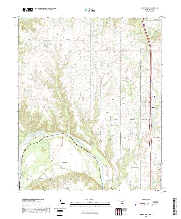
2022 Map of Marietta West
USGS Topo · Published 2022About this map
The Red River carves a winding path along the border of Oklahoma and Texas, defining the southern landscape of this region. The terrain moves from the lowlands of Sivells Bend and the Old Slough up into the higher ground of the Eastman Hills in the northwest. This area exhibits a transition from the agricultural river bottomlands to the more structured town plan of Marietta on the eastern edge. Multiple drainage systems, including Walnut Bayou, Bills Cr, and Rock Cr, create a complex network of creeks that feed into the main river channel.
Find a feature on this map
52 named features on this map. Tap any name to fly to it.
Don’t see what you’re looking for? This feature index may not catch every label — zoom into the map to look around manually.
Map Details
Editions of this 2022 Marietta West Map
This is the sole edition of this map. No revisions or reprints were ever made.
Other maps of this area

1901 · Ardmore
USGS Topo · 1:125,000

1902 · Gainesville
USGS Topo · 1:125,000

1918 · Ardmore
USGS Topo · 1:125,000

1943 · Gainesville
USGS Topo · 1:125,000

1954 · Sherman
USGS Topo · 1:250,000

1957 · Ardmore
USGS Topo · 1:250,000

1958 · Sherman
USGS Topo · 1:250,000

1963 · Ardmore
USGS Topo · 1:250,000

1964 · Lake Murray
USGS Topo · 1:24,000

1964 · Overbrook
USGS Topo · 1:24,000