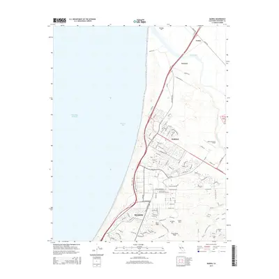
2015 Map of Marina
USGS Topo · Published 2015About this map
The coastal shelf of Monterey Bay serves as the foundation for the growing communities of Marina and northern Seaside. At the center of this landscape sits the campus of California State University-Monterey Bay, occupying land that transitioned from military to educational use. To the north, the Salinas River winds toward the coast near the rail-and-road junctions of Nashua and Neponset, marking a shift from urban development to agricultural and riparian environments. The southern portion of the map is defined by a series of prominent rises including Welch Ridge, Artillery Hill, and Grant Ewing Ridge, which contrast with the flat coastal dunes. Industrial and transport infrastructure like the Marina Municipal Airport and Del Monte Blvd indicate the area's role as a regional transit corridor along the Pacific Ocean.
Find a feature on this map
117 named features on this map. Tap any name to fly to it.
Don’t see what you’re looking for? This feature index may not catch every label — zoom into the map to look around manually.
Map Details
Editions of this 2015 Marina Map
This is the sole edition of this map. No revisions or reprints were ever made.
Other maps of this area

1910 · Salinas
USGS Topo · 1:31,680

1912 · Salinas
USGS Topo · 1:62,500

1912 · Capitola
USGS Topo · 1:62,500

1913 · Monterey
USGS Topo · 1:62,500

1914 · Capitola
USGS Topo · 1:62,500

1915 · San Juan Bautista
USGS Topo · 1:48,000

1917 · San Juan Bautista
USGS Topo · 1:62,500

1939 · San Juan Bautista
USGS Topo · 1:62,500

1940 · San Juan Bautista
USGS Topo · 1:62,500

1940 · Salinas
USGS Topo · 1:62,500