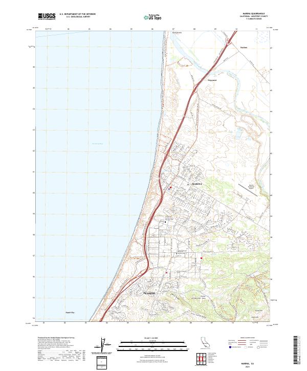
2021 Map of Marina
USGS Topo · Published 2021About this map
Marina and the northern reaches of Seaside sit along the sweeping coastline of Monterey Bay, showing a landscape defined by military legacy and educational growth. The former grounds of Fort Ord are visible through the sprawling campus of California State University-Monterey Bay and the nearby California Central Coast Veterans Cem. The terrain rises from the coastal dunes to interior heights like Welch Ridge and Parker Artillery Hill Flats, reflecting the area's history as a major training installation.
Find a feature on this map
131 named features on this map. Tap any name to fly to it.
Don’t see what you’re looking for? This feature index may not catch every label — zoom into the map to look around manually.
Map Details
Editions of this 2021 Marina Map
This is the sole edition of this map. No revisions or reprints were ever made.
Historical Maps of Prattco Through Time
3 maps found