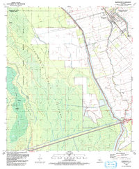
1999 Map of Maringouin
USGS Topo · Published 2001About this map
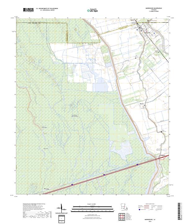
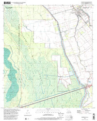
Atchafalaya National Wildlife Refuge and the massive Atchafalaya Basin Floodway dominate this Iberville Parish landscape at the turn of the millennium. The terrain is a complex network of wetlands and hydraulic engineering, bound by the East Atchafalaya Basin Protection Levee and threaded by numerous waterways like Bayou Dixie and Bayou des Glaises. The settlement pattern clings to the higher ground along the banks of Bayou Grosse Tete and Bayou Maringouin, where the Union Pacific railroad serves the communities of Maringouin, Musson, and Ramah. This area reveals the heavy footprint of the energy industry, with the Maringouin Oil Field and Musson Gas Field interspersed among rural landmarks. Genealogists will find numerous local congregations and burial grounds, including Bethany Ch, Rising Star Ch, and St Peter Cem, which anchor the small riverside communities.
Find a feature on this map
35 named features on this map. Tap any name to fly to it.
Don’t see what you’re looking for? This feature index may not catch every label — zoom into the map to look around manually.
Map Details
Editions of this 1999 Maringouin Map
2 editions found
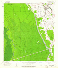
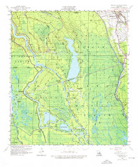
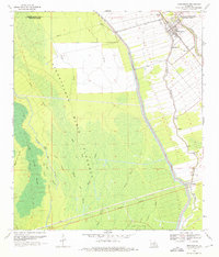
Historical Maps of Maringouin Through Time
6 maps found