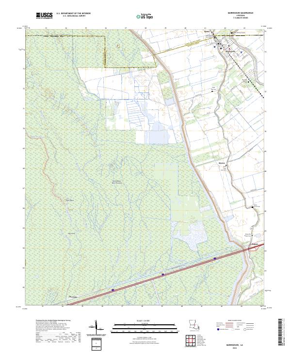
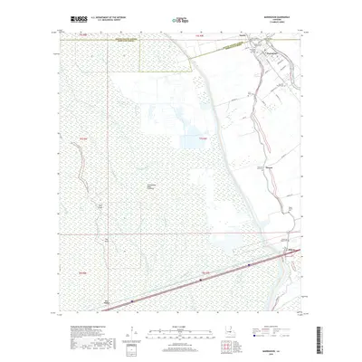
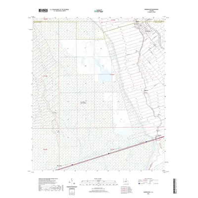
2024 Map of Maringouin
USGS Topo · Published 2024About this map
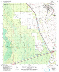
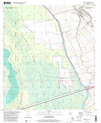
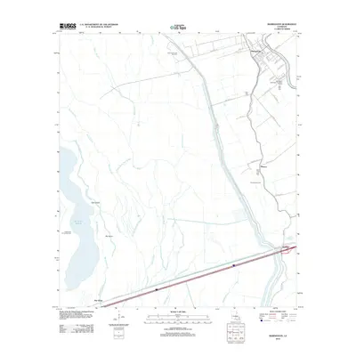
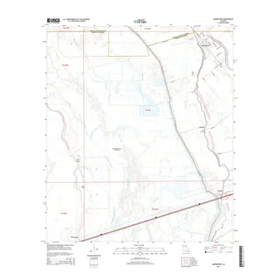
The low-lying wetlands of the Atchafalaya Basin Floodway define this corner of Iberville and Pointe Coupee Parishes, where the dense hydrology of Bayou Black and Bayou Des Glaises meets established corridor settlements. The community of Maringouin serves as a local hub, situated where the terrain begins to transition from the wilder Atchafalaya National Wildlife Refuge to the cultivated lands along Bayou Grosse Tete.
Find a feature on this map
58 named features on this map. Tap any name to fly to it.
Don’t see what you’re looking for? This feature index may not catch every label — zoom into the map to look around manually.
Map Details
Editions of this 2024 Maringouin Map
This is the sole edition of this map. No revisions or reprints were ever made.
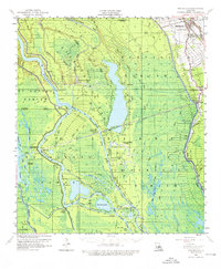
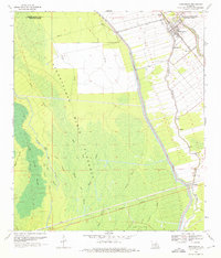
Historical Maps of Maringouin Through Time
10 maps found
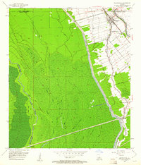
1953 Maringouin
Iberville Parish, LA
1959 Maringouin
Iberville Parish, LA
1969 Maringouin
Iberville Parish, LA
1992 Maringouin
Iberville Parish, LA
1999 Maringouin
Iberville Parish, LA
2012 Maringouin
Iberville Parish, LA
2015 Maringouin
Iberville Parish, LA
2018 Maringouin
Iberville Parish, LA
2020 Maringouin
Iberville Parish, LA
2024 Maringouin
Iberville Parish, LA