
1954 Map of Grosse Tete
USGS Topo · Published 1955About this map
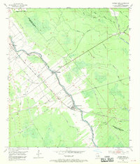
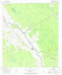
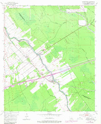
Bayou Grosse Tete anchors a landscape defined by the intersection of water and rail transport during the mid-1950s. The settlement pattern follows the narrow levees and the diagonal path of the Texas and Pacific railroad, which links the communities of Rosedale, Grosse Tete, and Slacks. This era shows a transition from purely river-dependent commerce to a rail-and-road economy, with many homes and churches like Mt Gullion Ch and Rose Hill Ch clustered along the natural levees.
Find a feature on this map
25 named features on this map. Tap any name to fly to it.
Don’t see what you’re looking for? This feature index may not catch every label — zoom into the map to look around manually.
Map Details
Editions of this 1954 Grosse Tete Map
4 editions found
Other maps of this area

1906 · Bayou Sara
USGS Topo · 1:125,000

1935 · Osca Bayou
USGS Topo · 1:62,500

1939 · Fordoche
USGS Topo · 1:62,500

1940 · Grosse Tete
USGS Topo · 1:62,500

1953 · Cow Bayou
USGS Topo · 1:24,000

1953 · Lobdell
USGS Topo · 1:24,000

1953 · Maringouin
USGS Topo · 1:24,000

1953 · Addis
USGS Topo · 1:24,000

1953 · Grosse Tete SW
USGS Topo · 1:24,000

1954 · Walls
USGS Topo · 1:24,000