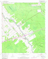
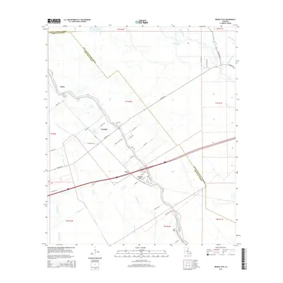
1954 Map of Grosse Tete
USGS Topo · Published 1979About this map
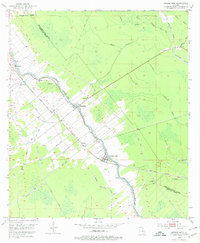
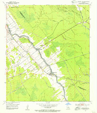
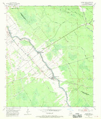
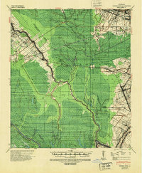
Bayou Grosse Tete dictates the geography of this Iberville Parish landscape, where long, narrow land lots stretch back from the water in the traditional Louisiana style. The Texas and Pacific railroad parallels the bayou, serving as the spine for settlements like Rosedale, Grosse Tete, and Webre. The map reveals a community supported by local institutions such as Shady Grove Sch and Rose Hill Ch, along with the St Joseph Cem near the southern bend of the waterway. Beyond the cultivated strips near the bayou, the terrain transitions into a complex network of wetlands and smaller channels, including Tommy Bayou and Choctaw Bayou. This pattern of settlement reflects the importance of river and rail access for the region's agricultural economy during the mid-20th century.
Find a feature on this map
25 named features on this map. Tap any name to fly to it.
Don’t see what you’re looking for? This feature index may not catch every label — zoom into the map to look around manually.
Map Details
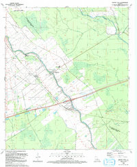
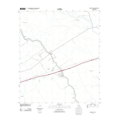
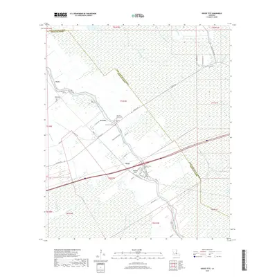
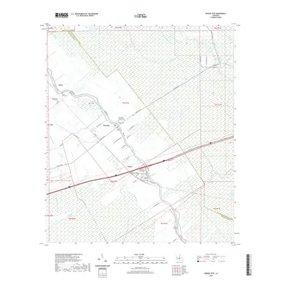
Editions of this 1954 Grosse Tete Map
4 editions found
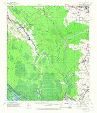
Historical Maps of Rosedale Through Time
9 maps found
1940 Grosse Tete
Iberville Parish, LA
1954 Grosse Tete
Iberville Parish, LA
1962 Grosse Tete
Iberville Parish, LA
1992 Grosse Tete
Iberville Parish, LA
2012 Grosse Tete
Iberville Parish, LA
2015 Grosse Tete
Iberville Parish, LA
2018 Grosse Tete
Iberville Parish, LA
2020 Grosse Tete
Iberville Parish, LA

2024 Grosse Tete
Iberville Parish, LA