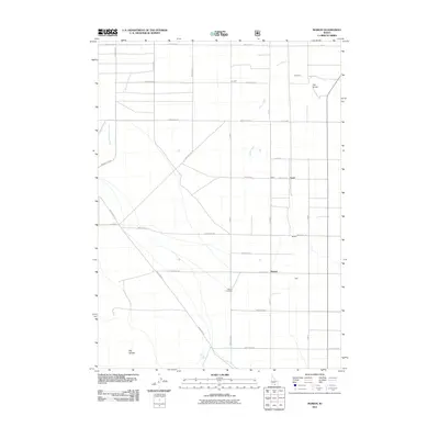
2011 Map of Marion
USGS Topo · Published 2011About this map
Marion and Churchill center this 2011 survey of Cassia County, Idaho, where a structured grid of rural roads meets the natural drainage of the Snake River Plain. The landscape is defined by the intersection of irrigation and natural watercourses, with the West Canal running south alongside the drainage of Goose Creek. Genealogists and local historians can pinpoint the Marion Cemetery south of the primary settlement, while terrain features like The Knolls and Big Hollow provide topographic context for the surrounding ranching and agricultural lands. Smaller named localities such as Warr and Trout appear along the section lines, connected by a network of named routes including Mountain Rd and Warm Creek Rd. The map illustrates the persistent settlement patterns of this high desert region, where life follows the descent of Big Cottonwood Creek and its tributaries from the higher elevations into the valley.
Find a feature on this map
34 named features on this map. Tap any name to fly to it.
Don’t see what you’re looking for? This feature index may not catch every label — zoom into the map to look around manually.
Map Details
Editions of this 2011 Marion Map
This is the sole edition of this map. No revisions or reprints were ever made.
Other maps of this area

1954 · Pocatello
USGS Topo · 1:250,000

1955 · Twin Falls
USGS Topo · 1:250,000

1958 · Twin Falls
USGS Topo · 1:250,000

1958 · Pocatello
USGS Topo · 1:250,000

1964 · Kenyon
USGS Topo · 1:24,000

1964 · Burley Butte
USGS Topo · 1:24,000

1965 · Milner Butte
USGS Topo · 1:24,000

1965 · Buckhorn Canyon
USGS Topo · 1:24,000

1968 · Basin
USGS Topo · 1:24,000

1968 · Marion SE
USGS Topo · 1:24,000