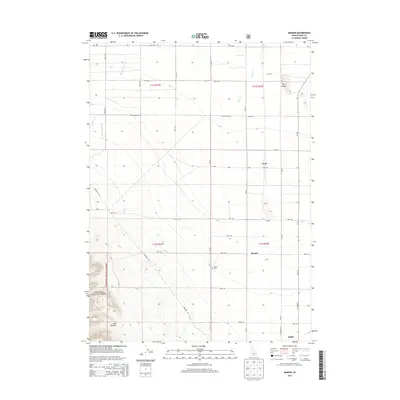
2013 Map of Marion
USGS Topo · Published 2013About this map
Oakley and its agricultural surroundings appear in high detail in this 2013 topographic study of southern Idaho. The landscape is defined by a grid of rural roads, including Mountain Rd and Layton Rd, which connect the small settlements of Churchill, Marion, and Trout. The irrigation-dependent economy of Cassia County is evidenced by the prominent West Canal, which draws from the Goose Cr drainage system.
Find a feature on this map
35 named features on this map. Tap any name to fly to it.
Don’t see what you’re looking for? This feature index may not catch every label — zoom into the map to look around manually.
Map Details
Editions of this 2013 Marion Map
This is the sole edition of this map. No revisions or reprints were ever made.
Other maps of this area

1954 · Pocatello
USGS Topo · 1:250,000

1955 · Twin Falls
USGS Topo · 1:250,000

1958 · Twin Falls
USGS Topo · 1:250,000

1958 · Pocatello
USGS Topo · 1:250,000

1964 · Kenyon
USGS Topo · 1:24,000

1964 · Burley Butte
USGS Topo · 1:24,000

1965 · Milner Butte
USGS Topo · 1:24,000

1965 · Buckhorn Canyon
USGS Topo · 1:24,000

1968 · Basin
USGS Topo · 1:24,000

1968 · Marion SE
USGS Topo · 1:24,000