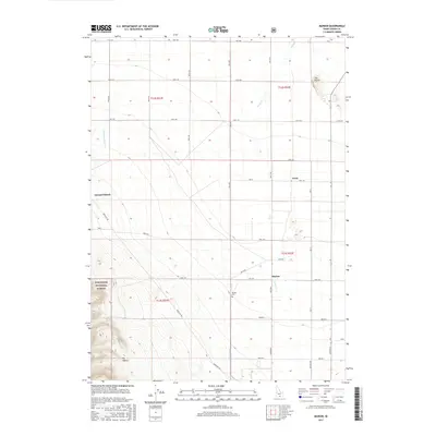
2017 Map of Marion
USGS Topo · Published 2017About this map
Marion sits at the heart of this agricultural corridor in southern Idaho, where the high desert meets the rising slopes of the Sawtooth National Forest. The landscape is defined by a rigorous grid of section lines and irrigation routes, including the West Canal and several creeks such as Goose Creek and Big Cottonwood Creek. These water sources sustain the local ranching and farming operations, evidenced by labels like Garrard Ranch and the small settlement of Trout. To the southwest, the terrain transitions sharply from the level basin floor into the foothills, marked by features like Big Hollow and the notable high ground of The Knolls. Local history and genealogy interest is anchored by the Marion Cem, situated just south of the main township area. The map illustrates a well-organized rural infrastructure, where named roads like Mountain Rd and College Ave provide access between the valley's isolated homesteads and the protected forest lands.
Find a feature on this map
29 named features on this map. Tap any name to fly to it.
Don’t see what you’re looking for? This feature index may not catch every label — zoom into the map to look around manually.
Map Details
Editions of this 2017 Marion Map
This is the sole edition of this map. No revisions or reprints were ever made.
Other maps of this area

1954 · Pocatello
USGS Topo · 1:250,000

1955 · Twin Falls
USGS Topo · 1:250,000

1958 · Twin Falls
USGS Topo · 1:250,000

1958 · Pocatello
USGS Topo · 1:250,000

1964 · Kenyon
USGS Topo · 1:24,000

1964 · Burley Butte
USGS Topo · 1:24,000

1965 · Milner Butte
USGS Topo · 1:24,000

1965 · Buckhorn Canyon
USGS Topo · 1:24,000

1968 · Basin
USGS Topo · 1:24,000

1968 · Marion SE
USGS Topo · 1:24,000