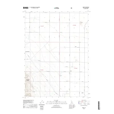
2020 Map of Marion
USGS Topo · Published 2020About this map
Marion and the northern outskirts of Oakley sit within a landscape defined by the transition from irrigated agricultural plains to the rising slopes of the Sawtooth National Forest. This modern survey illustrates the essential role of water management in the region, where the West Canal and ephemeral streams like Goose Cr and Big Cottonwood Cr support the gridded rural infrastructure. Genealogists can identify specific local sites including the Marion Cem and residential markers like Garrard Ranch and the small settlement of Trout. The terrain shifts dramatically in the southwest corner as the flat basin gives way to the drainage of Big Hollow, while the northeast is punctuated by the distinct elevations of The Knolls. The map provides a contemporary look at the road network, including the named thoroughfares of College Ave and Center St in the Oakley vicinity.
Find a feature on this map
34 named features on this map. Tap any name to fly to it.
Don’t see what you’re looking for? This feature index may not catch every label — zoom into the map to look around manually.
Map Details
Editions of this 2020 Marion Map
This is the sole edition of this map. No revisions or reprints were ever made.
Other maps of this area

1954 · Pocatello
USGS Topo · 1:250,000

1955 · Twin Falls
USGS Topo · 1:250,000

1958 · Twin Falls
USGS Topo · 1:250,000

1958 · Pocatello
USGS Topo · 1:250,000

1964 · Kenyon
USGS Topo · 1:24,000

1964 · Burley Butte
USGS Topo · 1:24,000

1965 · Milner Butte
USGS Topo · 1:24,000

1965 · Buckhorn Canyon
USGS Topo · 1:24,000

1968 · Basin
USGS Topo · 1:24,000

1968 · Marion SE
USGS Topo · 1:24,000