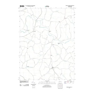
2010 Map of Marion Center
USGS Topo · Published 2010About this map
Marion Center serves as the focal point of this northern Indiana County landscape, situated where Pine Run and Pickering Run converge. The area is defined by its agricultural and light aviation character, evidenced by the presence of Marion Center Speedway Airport and Anthony Airport. Small, historic settlements like Georgeville, Ambrose, and Marchand are connected by a network of rural routes such as Georgeville Rd and Whitaker Rd.
Find a feature on this map
85 named features on this map. Tap any name to fly to it.
Don’t see what you’re looking for? This feature index may not catch every label — zoom into the map to look around manually.
Map Details
Editions of this 2010 Marion Center Map
This is the sole edition of this map. No revisions or reprints were ever made.
Other maps of this area

1902 · Indiana
USGS Topo · 1:62,500

1902 · Barnesboro
USGS Topo · 1:62,500

1904 · Barnesboro
USGS Topo · 1:62,500

1906 · Punxsutawney
USGS Topo · 1:62,500

1909 · Smicksburg
USGS Topo · 1:62,500

1938 · Smicksburg
USGS Topo · 1:62,500

1939 · Smicksburg
USGS Topo · 1:62,500

1939 · Punxsutawney
USGS Topo · 1:62,500

1942 · Punxsutawney
USGS Topo · 1:62,500

1943 · Punxsutawney
USGS Topo · 1:125,000
Featured Places
- Rayne Township, PA
- South Mahoning Township, PA
- Barton, East Mahoning Township
- Georgeville, East Mahoning Township
- Marchand, North Mahoning Township