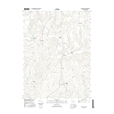
2016 Map of Marion Center
USGS Topo · Published 2016About this map
Marion Center serves as the focal point of this Pennsylvania landscape, where the town's grid meets the meandering path of Pine Run. The area's agricultural and industrial heritage is evident in the network of rural settlements like Mottarns Mill and Georgeville, which are connected by a dense web of secondary roads such as Mottarn Rd and Pollock Rd. The terrain is deeply etched by a complex drainage system, most notably Little Mahoning Creek, which flows westward toward Mahoning Cr Lake.
Find a feature on this map
108 named features on this map. Tap any name to fly to it.
Don’t see what you’re looking for? This feature index may not catch every label — zoom into the map to look around manually.
Map Details
Editions of this 2016 Marion Center Map
This is the sole edition of this map. No revisions or reprints were ever made.
Other maps of this area

1902 · Indiana
USGS Topo · 1:62,500

1902 · Barnesboro
USGS Topo · 1:62,500

1904 · Barnesboro
USGS Topo · 1:62,500

1906 · Punxsutawney
USGS Topo · 1:62,500

1909 · Smicksburg
USGS Topo · 1:62,500

1938 · Smicksburg
USGS Topo · 1:62,500

1939 · Smicksburg
USGS Topo · 1:62,500

1939 · Punxsutawney
USGS Topo · 1:62,500

1942 · Punxsutawney
USGS Topo · 1:62,500

1943 · Punxsutawney
USGS Topo · 1:125,000
Featured Places
- Rayne Township, PA
- South Mahoning Township, PA
- Barton, East Mahoning Township
- Georgeville, East Mahoning Township
- Marchand, North Mahoning Township