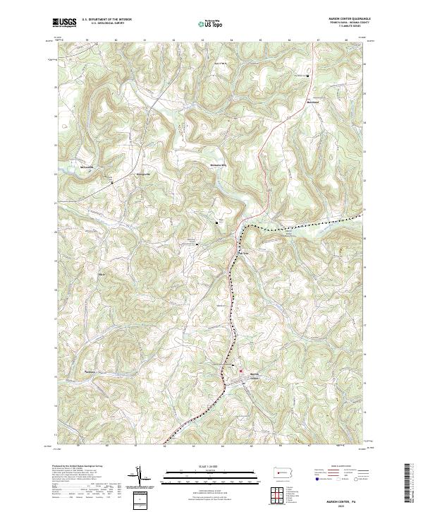
2023 Map of Marion Center
USGS Topo · Published 2023About this map
Little Mahoning Creek and its many tributaries, including Mudlick Run and Pickering Run, carve a complex drainage pattern through this portion of Indiana County. The settlement of Marion Center serves as a local hub, supported by a network of smaller named hamlets such as Georgeville, Marchand, and Mottarns Mill. The map reveals a deeply rooted community structure, evidenced by numerous historical burial grounds like the Marion Center Memorial Cem and Mahoning United Presbyterian Cem. Transportation in the region is defined by winding valley roads and local landmarks like the Marion Center Speedway Airport. The landscape is primarily rural, characterized by distinctive terrain features such as Pearce Hollow, where narrow valleys and ridges have influenced the placement of farms and homesteads for generations.
Find a feature on this map
75 named features on this map. Tap any name to fly to it.
Don’t see what you’re looking for? This feature index may not catch every label — zoom into the map to look around manually.
Map Details
Editions of this 2023 Marion Center Map
This is the sole edition of this map. No revisions or reprints were ever made.
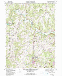
Historical Maps of Marion Center Through Time
Featured Locations
- North Mahoning Township, PA
- Rayne Township, PA
- East Mahoning Township, PA
- South Mahoning Township, PA
- Barton, East Mahoning Township