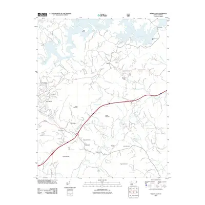
2011 Map of Marion East
USGS Topo · Published 2011About this map
Lake James dominates the northern reaches of this landscape, its complex shoreline defined by the Catawba River and its various tributaries like Thompsons Fork. The settlement patterns here follow the corridors of major transport, with East Marion, Stumptown, and Clinchfield clustered in the west near the NS rail lines. To the east, the community of Nebo serves as a local hub, complete with the Nebo School and Nebo Cemetery.
Find a feature on this map
65 named features on this map. Tap any name to fly to it.
Don’t see what you’re looking for? This feature index may not catch every label — zoom into the map to look around manually.
Map Details
Editions of this 2011 Marion East Map
This is the sole edition of this map. No revisions or reprints were ever made.
Other maps of this area

1900 · Mount Mitchell
USGS Topo · 1:125,000

1902 · Mount Mitchell
USGS Topo · 1:125,000

1905 · Morganton
USGS Topo · 1:125,000

1953 · Charlotte
USGS Topo · 1:250,000

1954 · Charlotte
USGS Topo · 1:250,000

1955 · Knoxville
USGS Topo · 1:250,000

1956 · Oak Hill
USGS Topo · 1:24,000

1956 · Ashford
USGS Topo · 1:24,000

1956 · Linville Falls
USGS Topo · 1:62,500

1957 · Knoxville
USGS Topo · 1:250,000