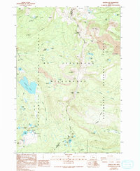
1988 Map of Marion Lake
USGS Topo · Published 1994About this map
John Swallow Grave stands as a solitary human marker in this high-altitude landscape of the Cascades, situated west of the Linn and Jefferson County line. The map detail reflects the region as it was field-checked in 1961, documenting the volcanic and glacial features of the Mt Jefferson Wilderness. A dense network of water bodies, including the large Marion Lake and the high-elevation Eight Lakes Basin, dominates the topography between Willamette National Forest and Deschutes National Forest. The presence of the Pacific Crest National Scenic Trail winding past North Cinder Peak and Rockpile Mtn highlights the area's significance for early wilderness recreation. Notable geological landmarks like The Table and Forked Butte sit among ancient lava flows, providing a detailed record of the terrain before late 20th-century shifts in forest management.
Find a feature on this map
61 named features on this map. Tap any name to fly to it.
Don’t see what you’re looking for? This feature index may not catch every label — zoom into the map to look around manually.
Map Details
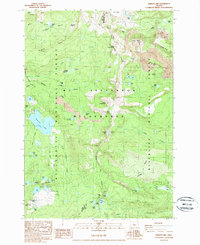
Editions of this 1988 Marion Lake Map
2 editions found
Other maps of this area

1927 · Mt. Jefferson
USGS Topo · 1:125,000

1929 · Three Sisters
USGS Topo · 1:125,000

1930 · Mt. Jefferson
USGS Topo · 1:125,000

1932 · Three Sisters
USGS Topo · 1:125,000

1955 · Bend
USGS Topo · 1:250,000

1957 · Bend
USGS Topo · 1:250,000

1958 · Bend
USGS Topo · 1:250,000

1959 · Three Fingered Jack
USGS Topo · 1:62,500

1959 · Sisters
USGS Topo · 1:62,500

1961 · Whitewater River
USGS Topo · 1:62,500