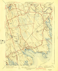
1941 Map of Marion
USGS Topo · Published 1941About this map
The coastal landscapes of Marion and Mattapoisett are defined by an intricate network of harbors and coves along Buzzards Bay. In the years leading up to the second World War, this region maintained a balance between its maritime heritage and inland agricultural roots. The presence of Tabor Academy near Sippican Harbor and the Sippican Mill further north suggests a community rooted in both education and industry. Settlement patterns are focused around the harbor fronts and early roads like County Road, while the interior remains dominated by extensive wetlands like Haskell Swamp and Bear Swamp.
Find a feature on this map
96 named features on this map. Tap any name to fly to it.
Don’t see what you’re looking for? This feature index may not catch every label — zoom into the map to look around manually.
Map Details
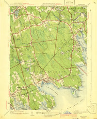
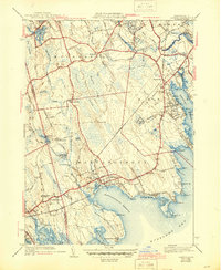
Editions of this 1941 Marion Map
3 editions found
Other maps of this area

1885 · New Bedford
USGS Topo · 1:62,500

1885 · Middleboro
USGS Topo · 1:62,500

1886 · Falmouth
USGS Topo · 1:62,500

1886 · Plymouth
USGS Topo · 1:62,500

1888 · New Bedford
USGS Topo · 1:62,500

1888 · Falmouth
USGS Topo · 1:62,500

1888 · Middleboro
USGS Topo · 1:62,500

1889 · Plymouth
USGS Topo · 1:62,500

1893 · Middleboro
USGS Topo · 1:62,500

1893 · Falmouth
USGS Topo · 1:62,500