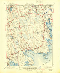
1941 Map of Marion
USGS Topo · Published 1944About this map
Buzzards Bay and the coastal inlets of Plymouth County define this landscape during the early 1940s, a period when small harbors and agricultural bogs dominated the local economy. The coastline is heavily marked by nautical and leisure landmarks, from the Ned Pt light to the grounds of Tabor Academy and the Reservation Golf Club. Inland, the map reveals a history of small-scale industry and community life, featuring the Subservant Mill on the Branch River and the rural New Boston Chapel. The transportation network is anchored by the New York New Haven and Hartford RR, which stops at Marion Sta. Local genealogy is well-supported by the inclusion of several burying grounds, such as Old Landing Cem, Hammond Cem, and Cushing Cem. Extensive cranberry bogs, including the Mattapoisett Bog and Long Pond Bog, illustrate the region's specialized agricultural character before post-war suburbanization.
Find a feature on this map
74 named features on this map. Tap any name to fly to it.
Don’t see what you’re looking for? This feature index may not catch every label — zoom into the map to look around manually.
Map Details
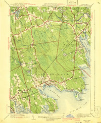
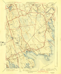
Editions of this 1941 Marion Map
3 editions found
Other maps of this area

1885 · New Bedford
USGS Topo · 1:62,500

1885 · Middleboro
USGS Topo · 1:62,500

1886 · Falmouth
USGS Topo · 1:62,500

1886 · Plymouth
USGS Topo · 1:62,500

1888 · New Bedford
USGS Topo · 1:62,500

1888 · Falmouth
USGS Topo · 1:62,500

1888 · Middleboro
USGS Topo · 1:62,500

1889 · Plymouth
USGS Topo · 1:62,500

1893 · Middleboro
USGS Topo · 1:62,500

1893 · Falmouth
USGS Topo · 1:62,500