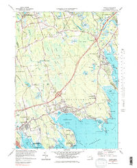
1977 Map of Marion
USGS Topo · Published 1984About this map
Sippican Harbor and Mattapoisett Harbor define the jagged Buzzards Bay shoreline, where maritime tradition meets the cranberry industry. This 1970s coastal survey captures the transition of the South Shore during the mid-century, showing the established campus of Tabor Academy near Marion and the developed waterfronts of Mattapoisett and Knollmere. Inland, the landscape is a patchwork of Cranberry Bogs and wooded wetlands like Towers Swamp, fed by the Mattapoisett River and Sippican River. The era's infrastructure is prominently displayed, featuring the path of the Old Colony Railroad and the modern presence of State Highway 195. Local history is preserved in several family-named landmarks, from Tinkhamtown and Sturtevant Mill to the Wolf Cem and Barlow Cem, reflecting generations of settlement along the Massachusetts coast.
Find a feature on this map
117 named features on this map. Tap any name to fly to it.
Don’t see what you’re looking for? This feature index may not catch every label — zoom into the map to look around manually.
Map Details
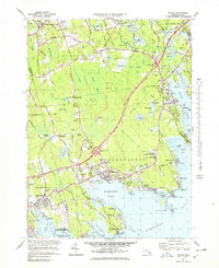
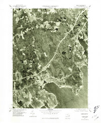
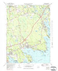
Editions of this 1977 Marion Map
4 editions found
Other maps of this area

1885 · New Bedford
USGS Topo · 1:62,500

1885 · Middleboro
USGS Topo · 1:62,500

1886 · Falmouth
USGS Topo · 1:62,500

1886 · Plymouth
USGS Topo · 1:62,500

1888 · New Bedford
USGS Topo · 1:62,500

1888 · Falmouth
USGS Topo · 1:62,500

1888 · Middleboro
USGS Topo · 1:62,500

1889 · Plymouth
USGS Topo · 1:62,500

1893 · Middleboro
USGS Topo · 1:62,500

1893 · Falmouth
USGS Topo · 1:62,500