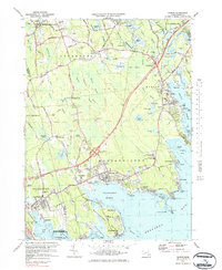
1977 Map of Marion
USGS Topo · Published 1984About this map
Buzzards Bay defines the southern reaches of this coastal landscape, where the sheltered waters of Sippican Harbor and Mattapoisett Harbor once supported vibrant maritime trade. Inland, the transition from maritime activity to agricultural and industrial life is evident in the sprawling cranberry bogs and the presence of Sturtevant Mill. The mapping captures the coastal villages of Marion and Mattapoisett during a period of modern growth, as shown by the Interstate 195 corridor cutting through the northern woodlands. Cultural anchors such as Tabor Academy and the Old Rochester Regional High Sch serve as landmarks for local history. The map also traces a network of older burial grounds, including Old Landing Cem and Wolf Cem, which provide valuable location data for genealogists tracing the early families of Plymouth and Bristol counties.
Find a feature on this map
94 named features on this map. Tap any name to fly to it.
Don’t see what you’re looking for? This feature index may not catch every label — zoom into the map to look around manually.
Map Details
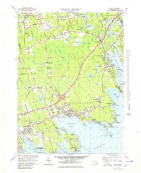
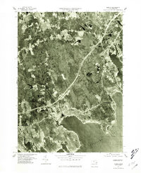
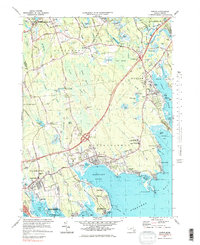
Editions of this 1977 Marion Map
4 editions found
Other maps of this area

1885 · New Bedford
USGS Topo · 1:62,500

1885 · Middleboro
USGS Topo · 1:62,500

1886 · Falmouth
USGS Topo · 1:62,500

1886 · Plymouth
USGS Topo · 1:62,500

1888 · New Bedford
USGS Topo · 1:62,500

1888 · Falmouth
USGS Topo · 1:62,500

1888 · Middleboro
USGS Topo · 1:62,500

1889 · Plymouth
USGS Topo · 1:62,500

1893 · Middleboro
USGS Topo · 1:62,500

1893 · Falmouth
USGS Topo · 1:62,500