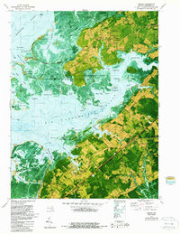
1972 Map of Marion
USGS Topo · Published 1987About this map
Marion and the surrounding Somerset County marshlands are captured in this orthophotomap, which combines traditional topographic data with 1972 aerial photography. The landscape is defined by the labyrinthine waterways between the Manokin River and the Big Annemessex River, including the expansive Fairmount State Wildlife Management Area. Human settlement is concentrated along the higher ground of Fairmount Neck and near the Penn Central rail line, where communities like Upper Fairmount and Tulls Corner were established.
Find a feature on this map
97 named features on this map. Tap any name to fly to it.
Don’t see what you’re looking for? This feature index may not catch every label — zoom into the map to look around manually.
Map Details
Editions of this 1972 Marion Map
2 editions found
Other maps of this area

1903 · Crisfield
USGS Topo · 1:62,500

1903 · Deal Island
USGS Topo · 1:62,500

1920 · Crisfield
USGS Topo · 1:62,500

1942 · Terrapin Sand Point
USGS Topo · 1:24,000

1942 · Great Fox Island
USGS Topo · 1:24,000

1942 · Marion
USGS Topo · 1:24,000

1942 · Deal Island
USGS Topo · 1:24,000

1942 · Monie
USGS Topo · 1:24,000

1942 · Kingston
USGS Topo · 1:24,000

1942 · Princess Anne
USGS Topo · 1:24,000