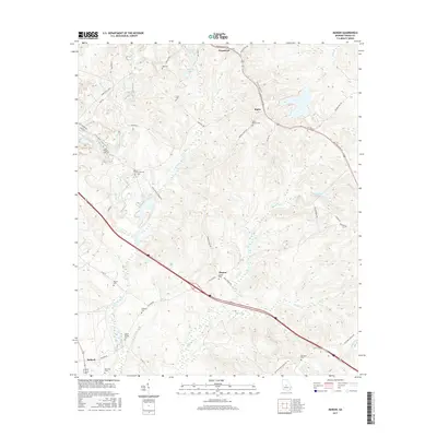
2017 Map of Marion
USGS Topo · Published 2017About this map
The settlement of Marion and the surrounding Twiggs County landscape are defined by a network of rural roads and family-named landmarks. This survey illustrates the transition from the community at Fitzpatrick in the north to Bullard in the southwest, connected by historic thoroughfares like Bullard Rd and Watson Dairy Rd. The terrain is deeply inscribed with genealogical history, featuring numerous small family burial grounds such as Jones-Denson Cem, Linda Melton Late Cem, and the Beech Spring Cem.
Find a feature on this map
49 named features on this map. Tap any name to fly to it.
Don’t see what you’re looking for? This feature index may not catch every label — zoom into the map to look around manually.
Map Details
Editions of this 2017 Marion Map
This is the sole edition of this map. No revisions or reprints were ever made.
Other maps of this area

1956 · Gordon
USGS Topo · 1:62,500

1956 · Warner Robins
USGS Topo · 1:62,500

1956 · Jeffersonville
USGS Topo · 1:62,500

1956 · Macon East
USGS Topo · 1:24,000

1956 · Macon
USGS Topo · 1:62,500

1957 · Macon
USGS Topo · 1:250,000

1958 · Macon
USGS Topo · 1:250,000

1964 · Macon
USGS Topo · 1:250,000

1973 · Massey Hill
USGS Topo · 1:24,000

1973 · Warner Robins NE
USGS Topo · 1:24,000