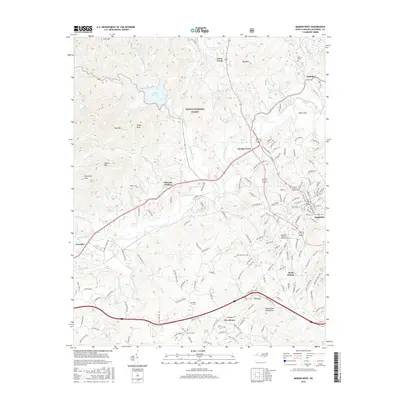
2016 Map of Marion West
USGS Topo · Published 2016About this map
The Catawba River winds through the heart of this McDowell County landscape, which serves as a notable gateway to the Pisgah National Forest and the Blue Ridge foothills. In the early 21st century, the area reflects a balance between the growing urban center of Marion and established rural communities such as Pleasant Gardens and Hankins. The map illustrates a transition from the structured residential and educational layout of West Marion, home to the McDowell Technical Community Coll, to the more varied terrain of the Habersham Mountains and Pool Mtn in the south.
Find a feature on this map
161 named features on this map. Tap any name to fly to it.
Don’t see what you’re looking for? This feature index may not catch every label — zoom into the map to look around manually.
Map Details
Editions of this 2016 Marion West Map
This is the sole edition of this map. No revisions or reprints were ever made.
Other maps of this area

1900 · Mount Mitchell
USGS Topo · 1:125,000

1902 · Mount Mitchell
USGS Topo · 1:125,000

1905 · Morganton
USGS Topo · 1:125,000

1934 · Parts Of Celo And Black Brothers
USGS Topo · 1:24,000

1934 · Parts Of Old Fort and Montreat
USGS Topo · 1:24,000

1953 · Charlotte
USGS Topo · 1:250,000

1954 · Charlotte
USGS Topo · 1:250,000

1955 · Knoxville
USGS Topo · 1:250,000

1956 · Ashford
USGS Topo · 1:24,000

1956 · Linville Falls
USGS Topo · 1:62,500