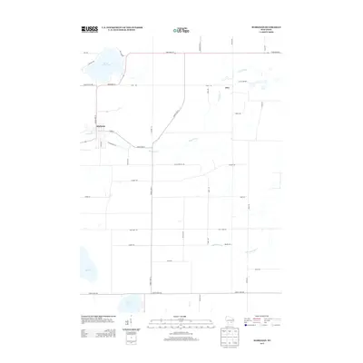
2013 Map of Markesan
USGS Topo · Published 2013About this map
Markesan serves as the primary hub in this agricultural region of Green Lake County, situated along the winding banks of the Grand River. This 2013 survey illustrates a landscape defined by significant glacial water bodies, including Little Green Lake in the northwest and Lake Maria and Lake Emily in the south. The rural character of the area is underscored by the presence of the Utley Quarry near the settlement of Utley, indicating the local importance of aggregate extraction. The map detail highlights an extensive network of secondary roads and county highways, such as County Hwy-A and State Road 44, that connect the various farmsteads and rural residences. To the southeast, the S Br Rock River and Drew Cr cross through flatlands, tracing the transition from the Grand River watershed to the Rock River basin. This survey provides a modern snapshot of the region's enduring rural structure, from the residential streets like N Margaret St to the isolated homesteads along Mackford Hill Rd.
Find a feature on this map
42 named features on this map. Tap any name to fly to it.
Don’t see what you’re looking for? This feature index may not catch every label — zoom into the map to look around manually.
Map Details
Editions of this 2013 Markesan Map
This is the sole edition of this map. No revisions or reprints were ever made.
Other maps of this area

1915 · Neshkoro
USGS Topo · 1:48,000

1916 · Ripon
USGS Topo · 1:48,000

1918 · Neshkoro
USGS Topo · 1:62,500

1918 · Ripon
USGS Topo · 1:62,500

1955 · Randolph
USGS Topo · 1:62,500

1955 · Fox Lake
USGS Topo · 1:62,500

1956 · Ripon
USGS Topo · 1:62,500

1957 · Madison
USGS Topo · 1:250,000

1960 · Madison
USGS Topo · 1:250,000

1963 · Neshkoro
USGS Topo · 1:62,500