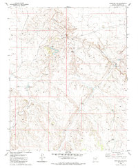
1980 Map of Markham Dam
USGS Topo · Published 1985About this map
Cataract Canyon and Monument Wash dominate this arid portion of Coconino County, where the management of scarce water resources is the primary footprint on the land. The presence of numerous livestock tanks and small earthen structures like Markham Dam and Perrin Dam suggests a landscape dedicated to ranching and grazing during the late twentieth century. These features, along with family-named or numbered watering points such as Little Rodgers Tanks, Brown Dams, and Tank No 1, reveal the vital infrastructure required to sustain life and industry in the high desert. The map illustrates a network of unimproved roads and trails connecting these scattered water sources, providing a detailed record of land use before more modern developments. Researchers can trace the legacy of early Arizona ranching through these specifically named tanks, which often served as the only reliable landmarks in an otherwise open and windswept terrain.
Find a feature on this map
16 named features on this map. Tap any name to fly to it.
Don’t see what you’re looking for? This feature index may not catch every label — zoom into the map to look around manually.
Map Details
Editions of this 1980 Markham Dam Map
2 editions found
Other maps of this area

1886 · Chino
USGS Topo · 1:250,000

1891 · Chino
USGS Topo · 1:250,000

1948 · Williams
USGS Topo · 1:250,000

1954 · Williams
USGS Topo · 1:250,000

1956 · Williams
USGS Topo · 1:250,000

1960 · Williams
USGS Topo · 1:250,000

1961 · Williams
USGS Topo · 1:250,000

1979 · Little Harpo Canyon
USGS Topo · 1:24,000
1979 · Howard Hill
USGS Topo · 1:24,000
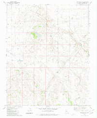
1980 · Markham Dam
USGS Topo · 1:24,000