
1944 Map of Marlboro
USGS Topo · Published 1944About this map
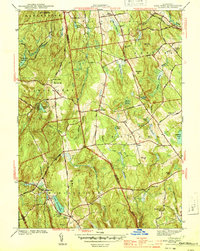
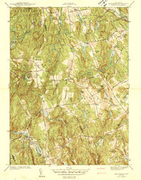
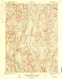
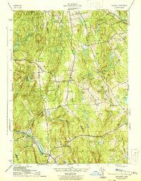
Marlboro and its surrounding uplands appear during the mid-1940s, revealing a landscape defined by localized industry and established rural routes. The industrial legacy of the region is anchored by the Shoddy Mill in the north, while the New London Turnpike cuts diagonally across the terrain, serving as a primary artery between inland settlements. Waterways like the Blackledge River and Salmon River flow through a complex system of marshes including Daly Swamp and Bishop Swamp, illustrating the natural drainage patterns of the Hartford and Tolland county line before modern development altered the shoreline of local basins. Social infrastructure is prominently featured through a network of rural schoolhouses, such as Birch Mtn Sch and the Northwest Sch, alongside recreational landmarks like Lake Terramuggus and Diamond Lake. This survey captures the transition from a traditional mill-and-farm economy toward a more residential character.
Find a feature on this map
54 named features on this map. Tap any name to fly to it.
Don’t see what you’re looking for? This feature index may not catch every label — zoom into the map to look around manually.
Map Details
Editions of this 1944 Marlboro Map
5 editions found
Other maps of this area

1892 · Hartford
USGS Topo · 1:62,500

1892 · Tolland
USGS Topo · 1:62,500

1892 · Gilead
USGS Topo · 1:62,500

1893 · Middletown
USGS Topo · 1:62,500

1906 · Farmington
USGS Topo · 1:125,000

1921 · Tolland
USGS Topo · 1:62,500

1928 · Glastonbury
USGS Topo · 1:24,000

1928 · Manchester
USGS Topo · 1:24,000

1944 · Manchester
USGS Topo · 1:31,680

1944 · South Coventry
USGS Topo · 1:31,680