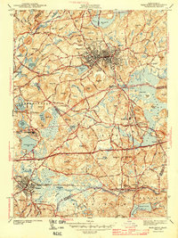
1943 Map of Marlboro
USGS Topo · Published 1943About this map
Marlboro serves as the industrial and civic anchor of this 1941 survey, where a dense network of streets radiates from the commercial core toward outlying hills like Oockocanganset Hill. The landscape reflects the early 1940s transition of central Massachusetts, balancing established manufacturing centers with the sprawling institutional grounds of the Westborough State Hospital and the budding aviation activity at Marlboro Airport.
Find a feature on this map
80 named features on this map. Tap any name to fly to it.
Don’t see what you’re looking for? This feature index may not catch every label — zoom into the map to look around manually.
Map Details
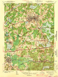
Editions of this 1943 Marlboro Map
2 editions found
Other maps of this area

1886 · Blackstone
USGS Topo · 1:62,500

1886 · Framingham
USGS Topo · 1:62,500

1887 · Franklin
USGS Topo · 1:62,500

1887 · Marlboro
USGS Topo · 1:62,500

1889 · Marlboro
USGS Topo · 1:62,500

1889 · Blackstone
USGS Topo · 1:62,500

1889 · Franklin
USGS Topo · 1:62,500

1889 · Framingham
USGS Topo · 1:62,500

1893 · Franklin
USGS Topo · 1:62,500

1893 · Blackstone
USGS Topo · 1:62,500