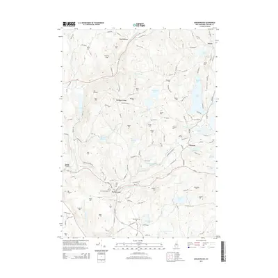
2015 Map of Marlborough
USGS Topo · Published 2015About this map
Marlborough and the surrounding Cheshire County uplands are captured in this 2015 study, documenting a landscape where dense forest and high-elevation ponds meet historic village centers. The town of Marlborough serves as a focal point, situated where RT-101 passes near a cluster of local heritage sites, including Pine Grove Cem and Mount Calvary Cem. To the north, the terrain rises toward Nelson and East Sullivan, characterized by numerous water bodies like Silver Lake and Center Pond. A notable corridor of the Abandoned Railroad Grd traces a path through the western portion of the map, passing near South Keene and Minnewawa Brook. This feature offers a clear record of the region’s former industrial transportation network, providing a spatial link between the hill towns and the larger valley floor below.
Find a feature on this map
63 named features on this map. Tap any name to fly to it.
Don’t see what you’re looking for? This feature index may not catch every label — zoom into the map to look around manually.
Map Details
Editions of this 2015 Marlborough Map
This is the sole edition of this map. No revisions or reprints were ever made.
Other maps of this area

1898 · Monadnock
USGS Topo · 1:62,500

1898 · Keene
USGS Topo · 1:62,500

1927 · Bellows Falls
USGS Topo · 1:48,000

1930 · Lovewell Mountain
USGS Topo · 1:62,500

1930 · Bellows Falls
USGS Topo · 1:62,500

1932 · Keene
USGS Topo · 1:62,500
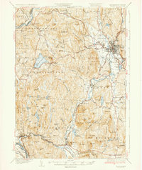
1935 · Keene
USGS Topo · 1:62,500

1936 · Monadnock
USGS Topo · 1:62,500

1942 · Keene
USGS Topo · 1:125,000

1942 · Lovewell Mountain
USGS Topo · 1:62,500