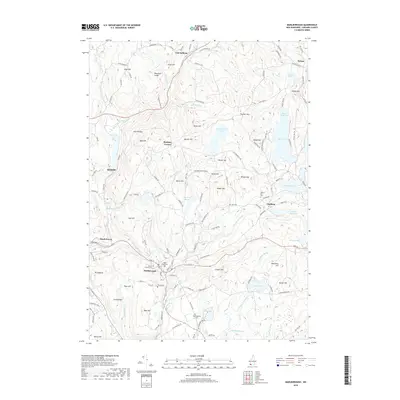
2018 Map of Marlborough
USGS Topo · Published 2018About this map
Marlborough and the eastern edge of Keene anchor this New Hampshire landscape, where the rugged terrain of Cheshire County is defined by a series of prominent hills and narrow river valleys. The town of Marlborough sits at the confluence of several vital waterways, including The Branch and Minnewawa Brook, while smaller settlements like Chesham and Roxbury Center remain scattered among the high ground. Genealogists and local historians can find numerous burial sites throughout the region, from the Pine Grove Cem in the main village to the remote Meetinghouse Cem and Willard Hill Cem. Notable natural landmarks like Silver Lake and Woodward Pond contrast with the rocky elevations of Houghton Ledge and The Pinnacle, illustrating the classic New England pattern of upland timber and valley settlement that has endured for generations.
Find a feature on this map
133 named features on this map. Tap any name to fly to it.
Don’t see what you’re looking for? This feature index may not catch every label — zoom into the map to look around manually.
Map Details
Editions of this 2018 Marlborough Map
This is the sole edition of this map. No revisions or reprints were ever made.
Other maps of this area

1898 · Monadnock
USGS Topo · 1:62,500

1898 · Keene
USGS Topo · 1:62,500

1927 · Bellows Falls
USGS Topo · 1:48,000

1930 · Lovewell Mountain
USGS Topo · 1:62,500

1930 · Bellows Falls
USGS Topo · 1:62,500

1932 · Keene
USGS Topo · 1:62,500
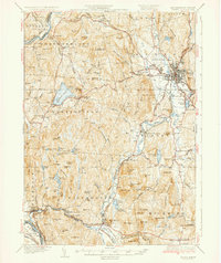
1935 · Keene
USGS Topo · 1:62,500

1936 · Monadnock
USGS Topo · 1:62,500

1942 · Keene
USGS Topo · 1:125,000

1942 · Lovewell Mountain
USGS Topo · 1:62,500