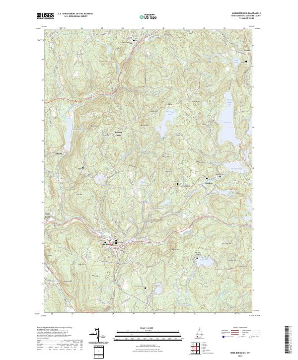
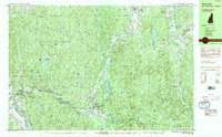
2024 Map of Marlborough
USGS Topo · Published 2024About this map
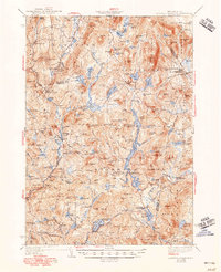
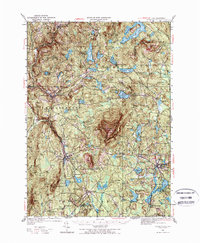
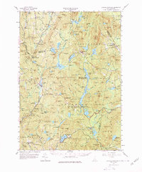
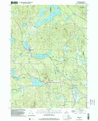
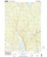
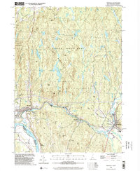
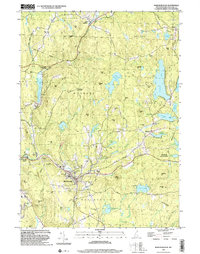
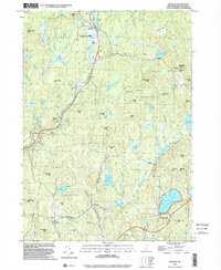
Marlborough and the surrounding Cheshire County uplands are defined by a complex network of reservoirs and historic burial grounds. The landscape is shaped by the descent of Minnewawa Brook and Otter Brook, which feed significant water bodies like Otter Brook Lake and Babbidge Reservoir. These waterways historically powered the region's industry, now reflected in the repurposed infrastructure of the Cheshire Rec-Rail Trl. Higher elevations such as Mt Huggins and Thunder Hill provide a backdrop for scattered settlements like Roxbury Center and Chesham.
Find a feature on this map
121 named features on this map. Tap any name to fly to it.
Don’t see what you’re looking for? This feature index may not catch every label — zoom into the map to look around manually.
Map Details
Editions of this 2024 Marlborough Map
This is the sole edition of this map. No revisions or reprints were ever made.
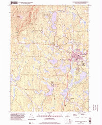
Historical Maps of East Sullivan Through Time
31 maps found
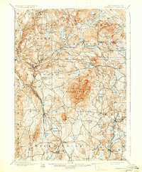
1898 Monadnock
Cheshire County, NH
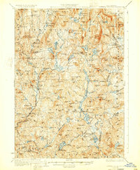
1930 Lovewell Mountain
Cheshire County, NH
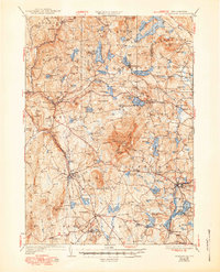
1936 Monadnock
Cheshire County, NH
1942 Lovewell Mountain
Cheshire County, NH
1949 Monadnock
Cheshire County, NH
1957 Lovewell Mountain
Cheshire County, NH
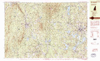
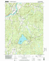
1984 Marlborough
Cheshire County, NH
1984 Monadnock Mountain
Cheshire County, NH
1984 Stoddard
Cheshire County, NH
1984 Winchester
Cheshire County, NH
1985 Walpole
Cheshire County, NH
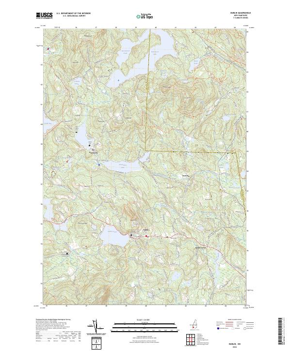
1998 Dublin
Cheshire County, NH
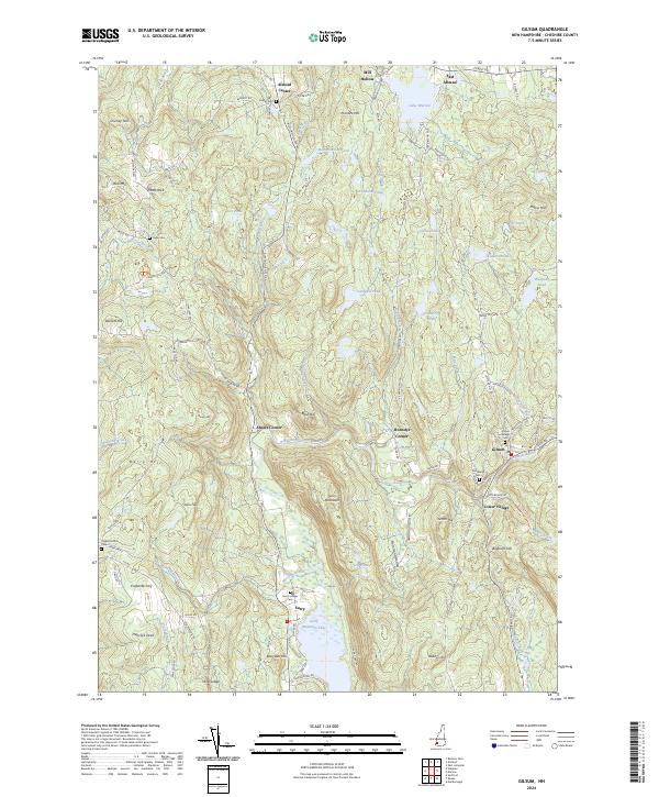
1998 Gilsum
Cheshire County, NH
1998 Hinsdale
Cheshire County, NH
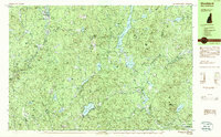
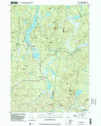
1998 Marlborough
Cheshire County, NH
1998 Marlow
Cheshire County, NH
1998 Monadnock Mountain
Cheshire County, NH
1998 Spofford
Cheshire County, NH
1998 Stoddard
Cheshire County, NH
1998 Troy
Cheshire County, NH
1998 Walpole
Cheshire County, NH
2024 Dublin
Cheshire County, NH
2024 Gilsum
Cheshire County, NH
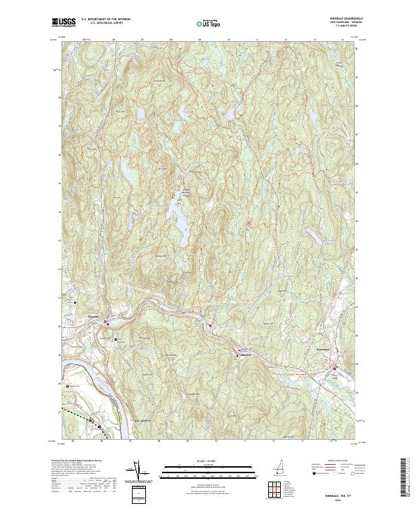
2024 Hinsdale
Cheshire County, NH
2024 Marlborough
Cheshire County, NH
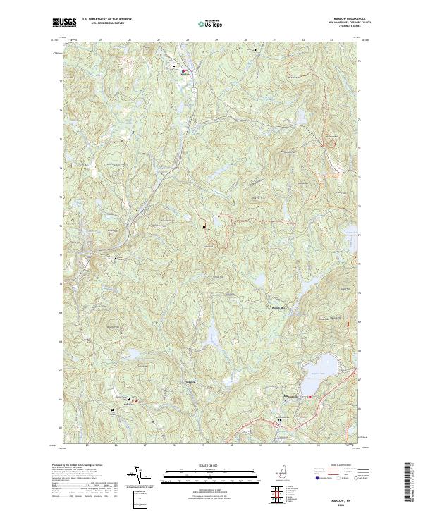
2024 Marlow
Cheshire County, NH
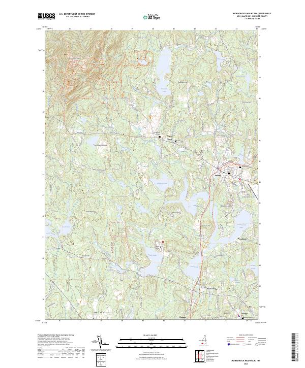
2024 Monadnock Mountain
Cheshire County, NH
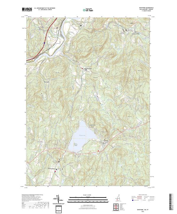
2024 Spofford
Cheshire County, NH
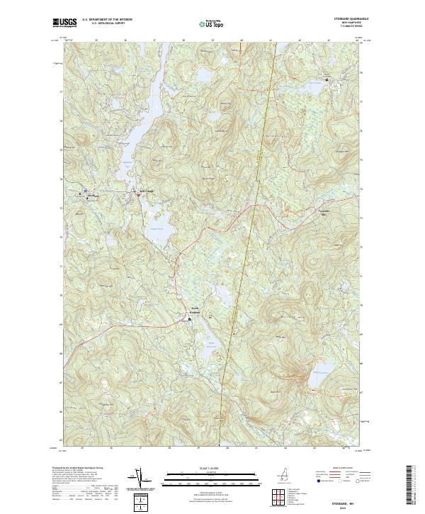
2024 Stoddard
Cheshire County, NH
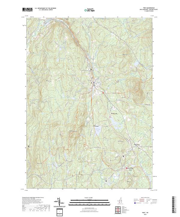
2024 Troy
Cheshire County, NH
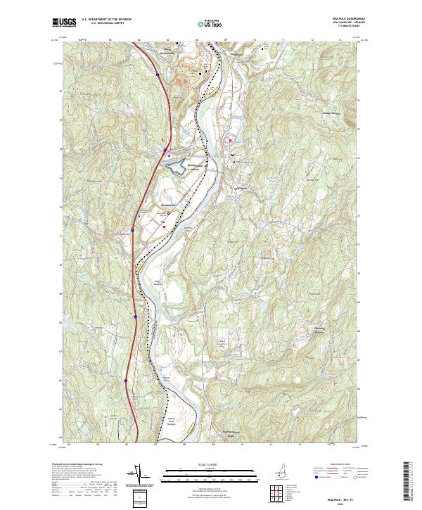
2024 Walpole
Cheshire County, NH