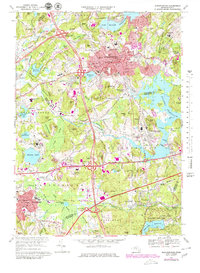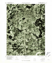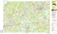
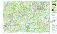
1983 Map of Marlborough
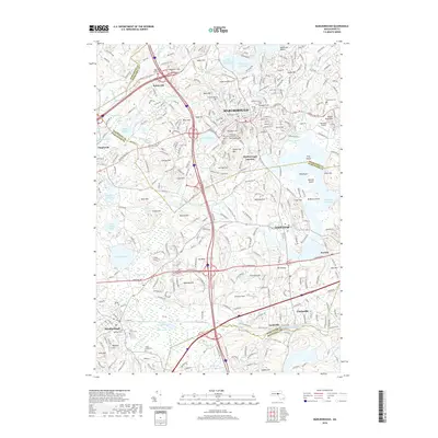
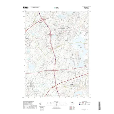
USGS Topo · Published 1984About this map
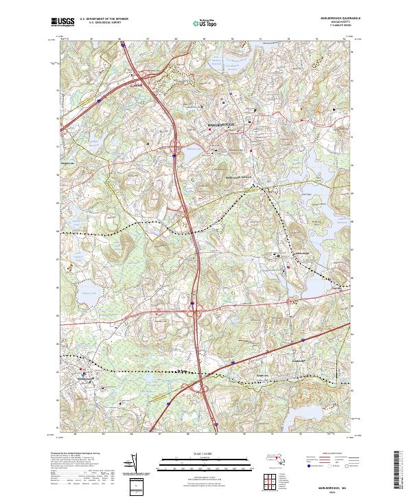
Marlborough and its neighboring boroughs of Northborough, Westborough, and Southborough serve as the focal points for this early 1980s topographical study. The landscape is defined by the intersection of major transportation arteries including the Massachusetts Turnpike, Interstate 495, and Interstate 290, alongside the Conrail lines. This era shows the suburban transition of Central Massachusetts, where expansive institutional grounds like the Westborough State Hospital and regional educational centers such as Algonquin Regional High School sit among older residential clusters like Southville and Cordaville. Large bodies of water, including Chauncy Lake and the Millham Reservoir, are bordered by a series of named hills like Stirrup Hill and Jericho Hill, illustrating the glacial drumlin topography of the region. The map captures the industrial and recreational mix of the period, from the Westborough Speedway to the Marlborough Airport, while preserving the locations of numerous local burying grounds such as Pine Grove Cemetery and Evergreen Cemetery.
Find a feature on this map
122 named features on this map. Tap any name to fly to it.
Don’t see what you’re looking for? This feature index may not catch every label — zoom into the map to look around manually.
Map Details
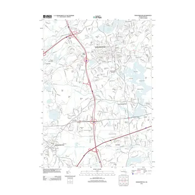
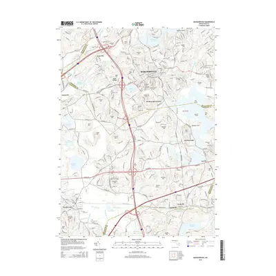
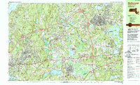
Editions of this 1983 Marlborough Map
3 editions found
Historical Maps of Worcester Through Time
8 maps found