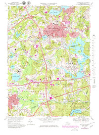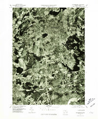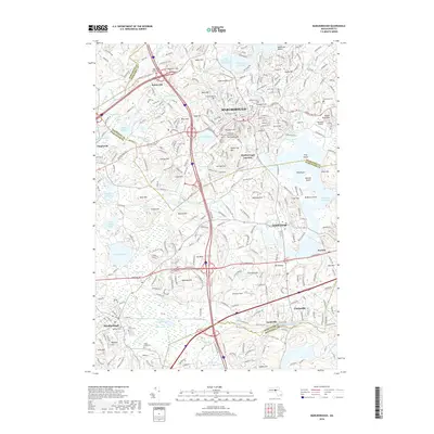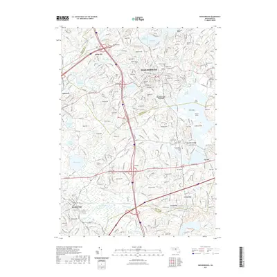
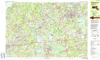
1983 Map of Marlborough
USGS Topo · Published 1990About this map
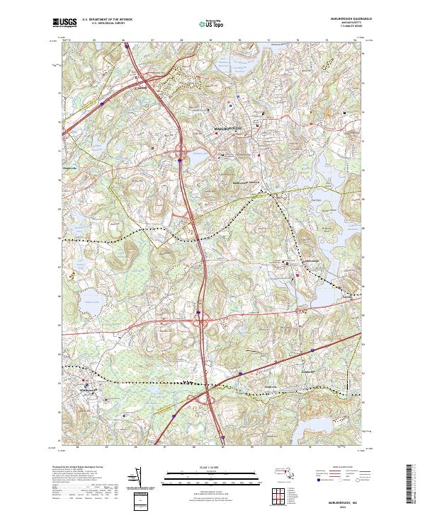
The industrial and institutional landscape of central Massachusetts is centered around Marlborough and Westborough in the early 1980s. A significant footprint of public infrastructure is visible, ranging from the Westborough State Hospital near Chauncy Lake to the educational corridors housing the Algonquin Regional High Sch and the Hillside Sch For Boys. The region's transition into a modern suburban and commercial hub is evident in the dense network of numbered highway interchanges, including Interchange 11A on the Turnpike, and the presence of the Marlborough Airport.
Find a feature on this map
146 named features on this map. Tap any name to fly to it.
Don’t see what you’re looking for? This feature index may not catch every label — zoom into the map to look around manually.
Map Details
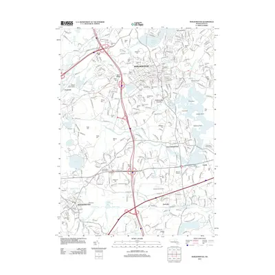
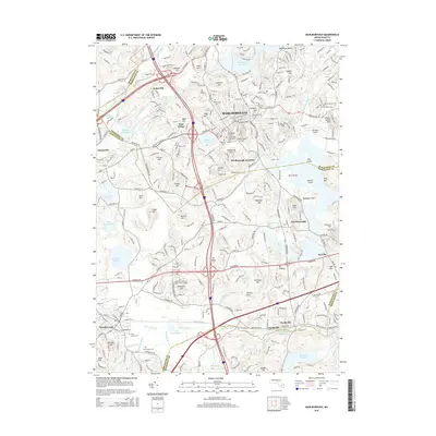
Editions of this 1983 Marlborough Map
3 editions found
Historical Maps of Worcester Through Time
8 maps found