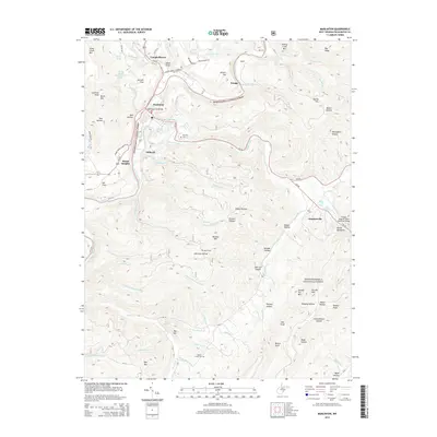
2014 Map of Marlinton
USGS Topo · Published 2014About this map
Marlinton serves as the focal point of this 2014 survey, situated where the Greenbrier River meets Knapp Creek. The town's layout is centered around the Marlinton City Bridge and is surrounded by distinct neighborhoods such as Beard Heights and Stillwell. Beyond the municipal center, the landscape is defined by its deep relationship with water and topography, featuring named springs like Adam Moore Chalybeate Spring and Gurry Neil Spring.
Find a feature on this map
94 named features on this map. Tap any name to fly to it.
Don’t see what you’re looking for? This feature index may not catch every label — zoom into the map to look around manually.
Map Details
Editions of this 2014 Marlinton Map
This is the sole edition of this map. No revisions or reprints were ever made.
Other maps of this area

1891 · Huntersville
USGS Topo · 1:125,000

1894 · Huntersville
USGS Topo · 1:125,000

1901 · Monterey
USGS Topo · 1:125,000

1922 · Cass
USGS Topo · 1:48,000

1923 · Marlinton
USGS Topo · 1:48,000

1923 · Warm Springs
USGS Topo · 1:48,000

1923 · Mingo
USGS Topo · 1:48,000

1924 · Cass
USGS Topo · 1:62,500

1925 · Mingo
USGS Topo · 1:62,500

1925 · Marlinton
USGS Topo · 1:62,500