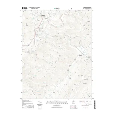
2016 Map of Marlinton
USGS Topo · Published 2016About this map
Marlinton and Huntersville anchor this survey of the West Virginia highlands, where the Greenbrier River and Knapp Creek carve through a landscape of steep hollows and ridges. The topography here is defined by long mountains such as Stony Creek Mtn and Marlin Mtn, which frame narrow valleys where settlements like Stillwell, Beard Heights, and Kee Flats follow the primary transit corridors. The region's history is preserved in small family and community burial grounds, including Mountain View Cem, Messir Cem, and Beaver Creek Cem.
Find a feature on this map
113 named features on this map. Tap any name to fly to it.
Don’t see what you’re looking for? This feature index may not catch every label — zoom into the map to look around manually.
Map Details
Editions of this 2016 Marlinton Map
This is the sole edition of this map. No revisions or reprints were ever made.
Other maps of this area

1891 · Huntersville
USGS Topo · 1:125,000

1894 · Huntersville
USGS Topo · 1:125,000

1901 · Monterey
USGS Topo · 1:125,000

1922 · Cass
USGS Topo · 1:48,000

1923 · Marlinton
USGS Topo · 1:48,000

1923 · Warm Springs
USGS Topo · 1:48,000

1923 · Mingo
USGS Topo · 1:48,000

1924 · Cass
USGS Topo · 1:62,500

1925 · Mingo
USGS Topo · 1:62,500

1925 · Marlinton
USGS Topo · 1:62,500