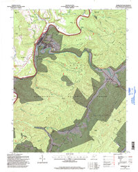
2023 Map of Marlinton
USGS Topo · Published 2023About this map
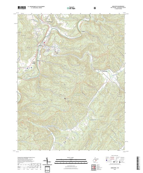
The Pocahontas County Courthouse serves as the focal point of Marlinton, where the Greenbrier River meets Knapp Creek. This 2023 edition shows the modern configuration of local river towns like Campbelltown, Stillwell, and Beard Heights. A significant portion of the landscape is dominated by the Monongahela National Forest, reaching across high ridges like Buckley Mtn and Beaver Lick Mountain. The conversion of old industrial infrastructure is evident in the Greenbrier River Rail-Trail, which follows the river's path through the valley.
Find a feature on this map
100 named features on this map. Tap any name to fly to it.
Don’t see what you’re looking for? This feature index may not catch every label — zoom into the map to look around manually.
Map Details
Editions of this 2023 Marlinton Map
This is the sole edition of this map. No revisions or reprints were ever made.
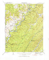
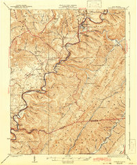
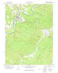
Historical Maps of Campbelltown Through Time
6 maps found