1977 Map of Marlinton
USGS Topo · Published 1978About this map
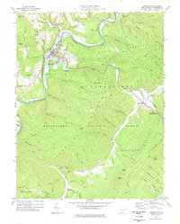
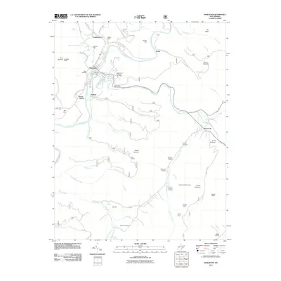
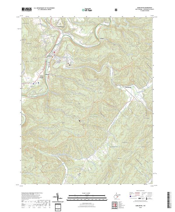
Marlinton serves as the focal point of this Pocahontas County landscape, where the Greenbrier River meets Knapp Creek. The town's layout includes visible infrastructure like sewage disposal ponds, water tanks, and a radio tower. Further east, the village of Huntersville sits at the foot of Huntersville Mountain, near the prominent Devils Backbone ridge.
Find a feature on this map
85 named features on this map. Tap any name to fly to it.
Don’t see what you’re looking for? This feature index may not catch every label — zoom into the map to look around manually.
Map Details
Editions of this 1977 Marlinton Map
This is the sole edition of this map. No revisions or reprints were ever made.
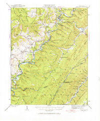
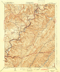
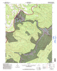
Historical Maps of Marlinton Through Time
10 maps found
1923 Marlinton
Pocahontas County, WV
1925 Marlinton
Pocahontas County, WV
1977 Marlinton
Pocahontas County, WV

1979 Marlinton
Pocahontas County, WV
1995 Marlinton
Pocahontas County, WV
2011 Marlinton
Pocahontas County, WV
2014 Marlinton
Pocahontas County, WV
2016 Marlinton
Pocahontas County, WV
2019 Marlinton
Pocahontas County, WV
2023 Marlinton
Pocahontas County, WV